
Grolanda 41:2, stenkrets i Västergötland
Location: Falköping Municipality
GPS coordinates: 58.05714,13.34905
Latest update: March 12, 2025 09:00
Alphems arboretum
10 km
Eriksbergs gamla kyrka
5.5 km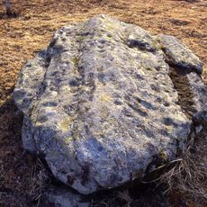
Slutarpsdösen
10.3 km
Göteve Church
8.3 km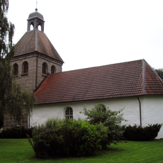
Öra Church
8.3 km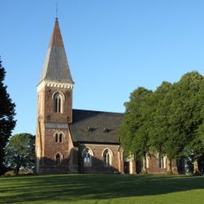
Eriksbergs nya kyrka
5.5 km
Sörby Church
9.7 km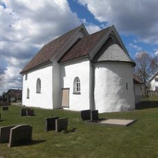
Mjäldrunga Church
6.4 km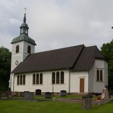
Hällestad Church
7.5 km
Vilske municipality
9 km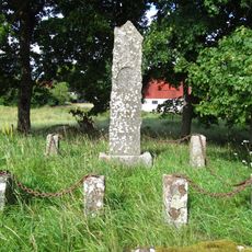
Elins sogn
9.2 km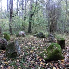
Steinkreis von Lellingens
9.9 km
Väsmestorps naturreservat
9.6 km
Vilske tingslag
9 km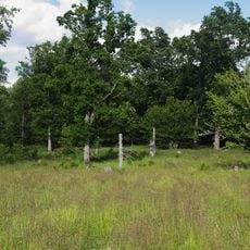
Väggårdsskogen
6.2 km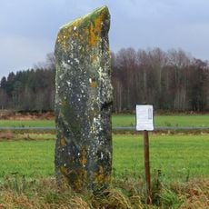
Runic inscription Vg 130
5.4 km
Sörby 5:1
9.5 km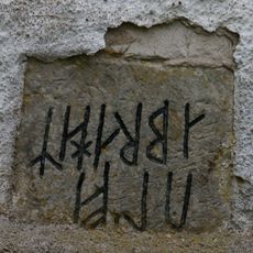
Västergötlands runinskrifter 201
10 km
Västergötlands runinskrifter 135
10.2 km
Floby bibliotek
8.9 km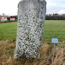
Kinneved 39:1
8.1 km
Slutarpsdösen
10.3 km
Sörby 5:2
9.5 km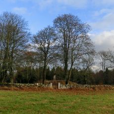
Grolanda 25:1
4.3 km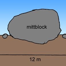
Sörby 128
10 km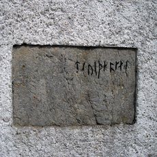
Västergötlands runinskrifter 200
10 km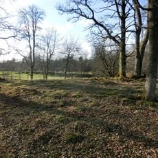
Sörby 58:1
9.6 km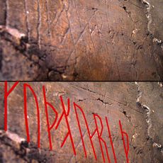
Västergötlands runinskrifter Fv2007;37
9.9 kmReviews
Visited this place? Tap the stars to rate it and share your experience / photos with the community! Try now! You can cancel it anytime.
Discover hidden gems everywhere you go!
From secret cafés to breathtaking viewpoints, skip the crowded tourist spots and find places that match your style. Our app makes it easy with voice search, smart filtering, route optimization, and insider tips from travelers worldwide. Download now for the complete mobile experience.

A unique approach to discovering new places❞
— Le Figaro
All the places worth exploring❞
— France Info
A tailor-made excursion in just a few clicks❞
— 20 Minutes