Synnerby 4:1, stenkammargrav i Västergötland
Location: Skara Municipality
GPS coordinates: 58.36880,13.23720
Latest update: October 26, 2025 21:01
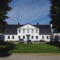
Blombacka herrgård
5.5 km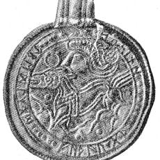
Grumpan bracteate
8.6 km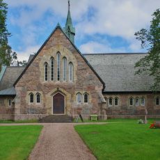
Vinköl
5.4 km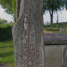
Västergötland Runic Inscription 73
2.8 km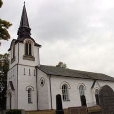
Kvänums kyrka
9.6 km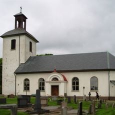
Jungs kyrka
8.3 km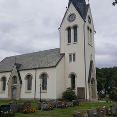
Hasslösa Church
7.3 km
Öttums kyrka
5.4 km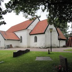
Kållands-Åsaka
7.2 km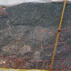
Vg 75, Västra Gerum
3 km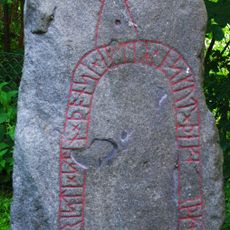
Vg 74 Skolgården (gamla kyrkogården)
5.5 km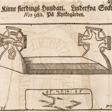
Västergötlands runinskrifter 58
7.8 km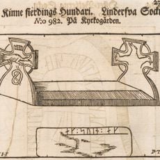
Västergötlands runinskrifter 57
7.7 km
Kvänum 40:1
9.8 km
Kvänum 3:3
10.2 km
Norra Vånga 9:2
10.2 km
Marum 3:1
6.3 km
Norra Vånga 108:1
9.3 km
Kvänum 52:2
9.5 km
Vinköl 25:1
5.6 km
Kvänum 40:2
9.8 km
Älvasten
7.4 km
Kvänum 20:2
10.1 km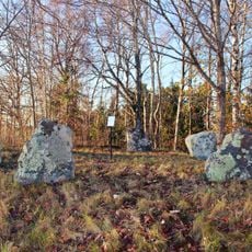
Jung 1:1
10 km
Kvänum 52:1
9.5 km
Korshögen
6.4 km
Norra Vånga 8:1
9.7 km
Västra Gerum 13:1
1.3 kmReviews
Visited this place? Tap the stars to rate it and share your experience / photos with the community! Try now! You can cancel it anytime.
Discover hidden gems everywhere you go!
From secret cafés to breathtaking viewpoints, skip the crowded tourist spots and find places that match your style. Our app makes it easy with voice search, smart filtering, route optimization, and insider tips from travelers worldwide. Download now for the complete mobile experience.

A unique approach to discovering new places❞
— Le Figaro
All the places worth exploring❞
— France Info
A tailor-made excursion in just a few clicks❞
— 20 Minutes