
Stenstorp 27:1, stone setting in Falköping Municipality, Västra Götaland County, Sweden
Location: Falköping Municipality
GPS coordinates: 58.30732,13.74564
Latest update: March 31, 2025 04:56
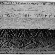
Västergötland Runic Inscription 81
7.1 km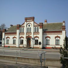
Dalénmuseet
4.1 km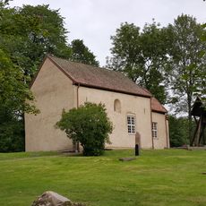
Norra Kyrketorps gamla kyrka
7.9 km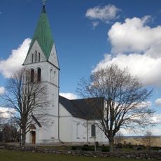
Borgunda Church
3.5 km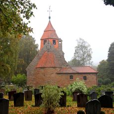
Norra Kyrketorp Church
6.5 km
Dalénium
4.1 km
Ingemo källa
7.6 km
Stenstorps kommun
4.2 km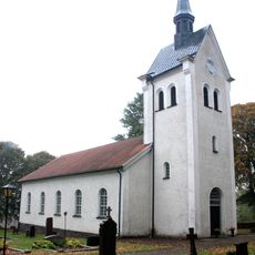
Häggums kyrka
2 km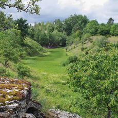
Djupadalen, Dala
6.1 km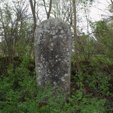
Västergötlands runinskrifter 93
3 km
Varholmen
5 km
Hene-Skultorp
6.2 km
Rådene kyrkplats
3.1 km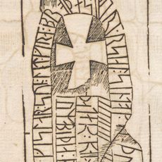
Västergötlands runinskrifter 76
5.5 km
Alebäckasjön
7.8 km
Nordsjömyren, Dala
7.6 km
Gudhems tingslag
4.2 km
Mellomsjömyren, Dala
7.8 km
Södra Kyrketorp 30:1
6.7 km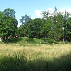
Broddetorps ödekyrkogård
7.1 km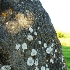
Dala domaresäte
6.3 km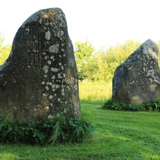
Dala domaresäte
6.3 km
Västergötlands runinskrifter 84
4.9 km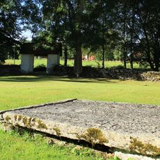
Dala 42:1
6.4 km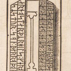
Västergötlands runinskrifter 97
6.7 km
Dala domaresäte
6.3 km
Dala 50:1
6.7 kmReviews
Visited this place? Tap the stars to rate it and share your experience / photos with the community! Try now! You can cancel it anytime.
Discover hidden gems everywhere you go!
From secret cafés to breathtaking viewpoints, skip the crowded tourist spots and find places that match your style. Our app makes it easy with voice search, smart filtering, route optimization, and insider tips from travelers worldwide. Download now for the complete mobile experience.

A unique approach to discovering new places❞
— Le Figaro
All the places worth exploring❞
— France Info
A tailor-made excursion in just a few clicks❞
— 20 Minutes