Stenum 24:1, röse i Västergötland
Location: Skara Municipality
GPS coordinates: 58.36046,13.50213
Latest update: October 26, 2025 05:59

Gemeinde Skara
4.1 km
Gälakvist
4.3 km
Brunsbo
3.7 km
Götala kungsgård
2.6 km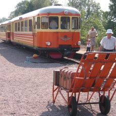
Skara–Lundsbrunns railways
4 km
Marie gravkapell
3.3 km
Skara 48:1
2.6 km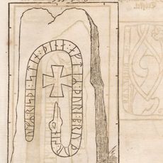
Västergötlands runinskrifter 78
892 m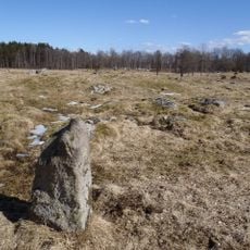
Skara 25:1
2.3 km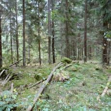
Skara 62:3
2.8 km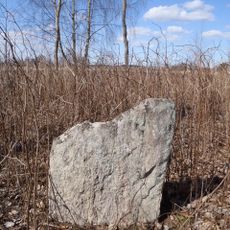
Skara 49:1
2.4 km
Stenum 10:1
1.3 km
Stenum 12:2
1.3 km
"Tempelbacken"
2.9 km
Skara 34:1
2.7 km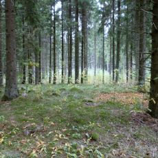
Skara 62:2
2.8 km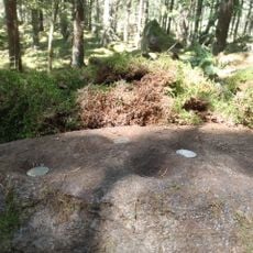
Skara 30:1
1.7 km
Skara 92:1
2.6 km
Stenum 11:1
1.3 km
Skara 23:1
2.6 km
Stenum 7:1
1.7 km
Norra Ving 51:1
4.3 km
Stenum 12:1
1.3 km
Stenum 19:1
1.8 km
Stenum 24:2
58 m
Norra Ving 6:2
4 km
Skara 62:1
2.8 km
Norra Ving 75:1
3.9 kmReviews
Visited this place? Tap the stars to rate it and share your experience / photos with the community! Try now! You can cancel it anytime.
Discover hidden gems everywhere you go!
From secret cafés to breathtaking viewpoints, skip the crowded tourist spots and find places that match your style. Our app makes it easy with voice search, smart filtering, route optimization, and insider tips from travelers worldwide. Download now for the complete mobile experience.

A unique approach to discovering new places❞
— Le Figaro
All the places worth exploring❞
— France Info
A tailor-made excursion in just a few clicks❞
— 20 Minutes