
Ön kallas Röret, röse i Västergötland (Torsö 26:1)
Location: Mariestad Municipality
GPS coordinates: 58.74938,13.78223
Latest update: April 1, 2025 13:38
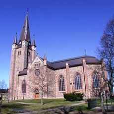
Mariestad Cathedral
4.7 km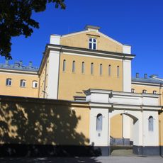
Mariestads fängelse
4.9 km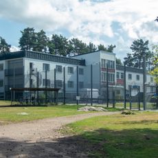
Anstalten Johannesberg
5.9 km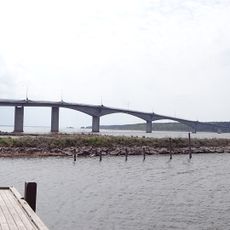
Torsö Bridge
5.5 km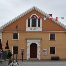
Theatre of Mariestad
5.1 km
Mariestads gamla lasarett
4.7 km
Bertha Petterssons hus
4.9 km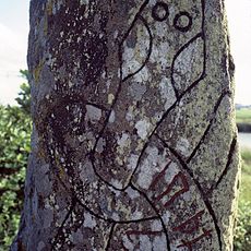
Vg 15
7.3 km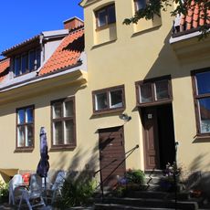
Zachauska gården
5.1 km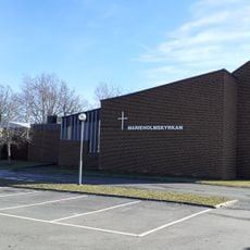
Marieholmskyrkan
5.1 km
Bageriet, Mariestad
4.9 km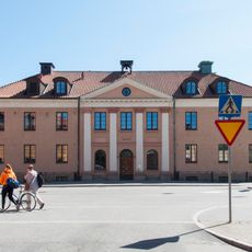
Vadsbo domsagas tingslag
5.9 km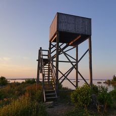
Gamla Ekudden
3.8 km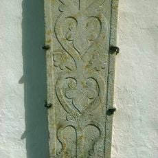
Västergötlands runinskrifter 10
7.5 km
Hästhagen
6.6 km
Alhagen Mariestad
5.1 km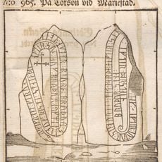
Västergötlands runinskrifter 17
1.9 km
Mariestads bibliotek
5.3 km
Snappudden lower light
3.5 km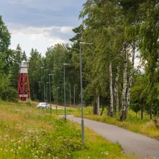
Nolhagen lower light
4.4 km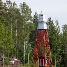
Snuggen
4.7 km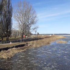
Mariestad Inner upper light
4.9 km
Mariestad Inner lower light
4.3 km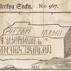
Berga 3:1
6.7 km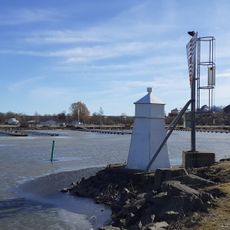
Mariestad upper light
4.2 km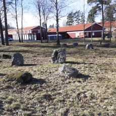
Leksberg 3:1
5 km
Vadsbo museum
5 km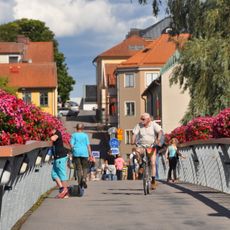
Hamnbron
4.8 kmReviews
Visited this place? Tap the stars to rate it and share your experience / photos with the community! Try now! You can cancel it anytime.
Discover hidden gems everywhere you go!
From secret cafés to breathtaking viewpoints, skip the crowded tourist spots and find places that match your style. Our app makes it easy with voice search, smart filtering, route optimization, and insider tips from travelers worldwide. Download now for the complete mobile experience.

A unique approach to discovering new places❞
— Le Figaro
All the places worth exploring❞
— France Info
A tailor-made excursion in just a few clicks❞
— 20 Minutes