Herrestad 12:1, röse i Bohuslän
Location: Uddevalla Municipality
GPS coordinates: 58.30620,11.77504
Latest update: October 26, 2025 15:31
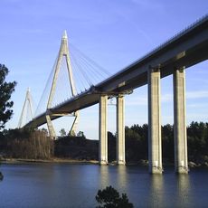
Uddevalla Bridge
4.5 km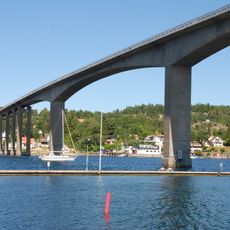
Nötesundsbron
4.5 km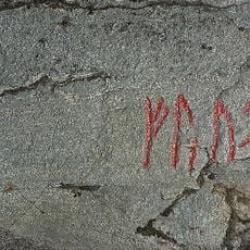
Bohusläns runinskrifter NIYR5;224
3.6 km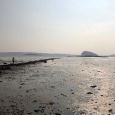
Havstensfjorden (naturreservat)
1.6 km
Pålsgården
3.7 km
Herrestad 351:1
4.9 km
Pålsgården
3.7 km
Myckleby 16:1
4.7 km
Pålsgården
3.7 km
Pålsgården
3.7 km
Högås 32:1
1.5 km
Herrestad 51:2
1.7 km
Pålsgården
3.7 km
Nedergården
4.2 km
Herrestad 51:1
1.7 km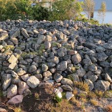
Forshälla 3:1
2.5 km
Forshälla 83:1
3.4 km
Granhoge hög
2.5 km
Pålsgården
3.6 km
Myckleby 15:1
4.5 km
Herrestad 30:2
4.5 km
Myckleby 17:1
4.4 km
Torp 22:1
4.7 km
Torp 23:1
4.7 km
Torp 36:1
4.9 km
Herrestad 13:1
1.7 km
Scenic viewpoint
2.5 km
Scenic viewpoint
2.6 kmReviews
Visited this place? Tap the stars to rate it and share your experience / photos with the community! Try now! You can cancel it anytime.
Discover hidden gems everywhere you go!
From secret cafés to breathtaking viewpoints, skip the crowded tourist spots and find places that match your style. Our app makes it easy with voice search, smart filtering, route optimization, and insider tips from travelers worldwide. Download now for the complete mobile experience.

A unique approach to discovering new places❞
— Le Figaro
All the places worth exploring❞
— France Info
A tailor-made excursion in just a few clicks❞
— 20 Minutes