Lindome 354:1, hällristning i Halland
Location: Mölndal Municipality
GPS coordinates: 57.57257,12.04918
Latest update: October 25, 2025 15:40
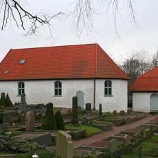
Kållered Church
3.8 km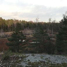
Sandsjöbacka naturreservat, Västra Götalands län
3 km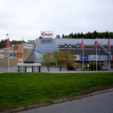
EkenCenter
3.2 km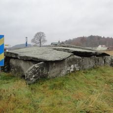
Steinkiste Dvärgahuset
4.8 km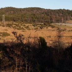
Sandsjöbacka naturreservat, Hallands län
5.4 km
Apelgårdens kyrka
3.8 km
Lindome 320:4
3.4 km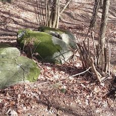
Lindome 62:2
3.3 km
Lindome 62:1
3.3 km
Älvsåker 86:1
4.9 km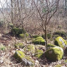
Lindome 63:1
3.3 km
Askim 269:1
5.7 km
Kumlehög
5.3 km
Älvsåker 88:2
5 km
Lindome 320:6
3.5 km
Lindome 52:1
3.3 km
Lindome 298:1
1.9 km
Lindome 320:3
3.5 km
Älvsåker 40:1
4.8 km
Lindome 15:1
3 km
Lindome 59:1
2.4 km
Lindome 60:1
2.1 km
Lindome 61:1
2.5 km
Lindome 58:1
2.2 km
Kållered 44:1
4.1 km
Lindome 320:2
3.5 km
Lindome 320:1
3.5 km
Paintballfabriken
4.5 kmReviews
Visited this place? Tap the stars to rate it and share your experience / photos with the community! Try now! You can cancel it anytime.
Discover hidden gems everywhere you go!
From secret cafés to breathtaking viewpoints, skip the crowded tourist spots and find places that match your style. Our app makes it easy with voice search, smart filtering, route optimization, and insider tips from travelers worldwide. Download now for the complete mobile experience.

A unique approach to discovering new places❞
— Le Figaro
All the places worth exploring❞
— France Info
A tailor-made excursion in just a few clicks❞
— 20 Minutes