
Väla 20:1, monument in Lidköping Municipality, Sweden
Location: Lidköping Municipality
GPS coordinates: 58.47108,12.93007
Latest update: March 7, 2025 18:03
Gemeinde Lidköping
12 km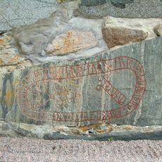
Västergötland Runic Inscription 40
9.8 km
Stora Roo
3.9 km
Siggetorp
7.2 km
Tådene kyrkplats
6.3 km
Tuns kyrka
12.1 km
Colina de Skalunda
10 km
Slädene storegård
12.1 km
Tådene Church
5.9 km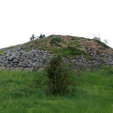
Stenkullen in Tun
12.4 km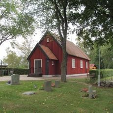
Slädene church
11.2 km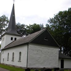
Norra Kedums kyrka
2 km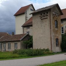
Tuns elkvarn
12 km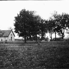
Mellby kyrkplats
5.8 km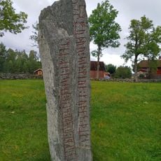
Västergötlands runinskrifter 108
10.4 km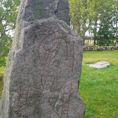
Västergötlands runinskrifter 109
10.4 km
Kålland's District Law
5.4 km
Kung Rådes grav
9.4 km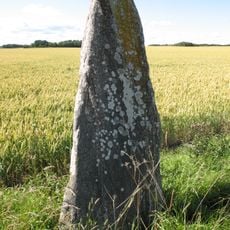
Vg 20
11.4 km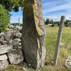
Slädene 6:1
11.3 km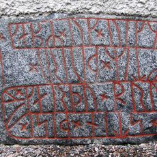
Vg 30 Järpås kyrka
10.9 km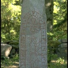
Västergötlands runinskrifter 32
7.4 km
Västergötlands runinskrifter 42
9.8 km
Västergötlands runinskrifter 107
12.1 km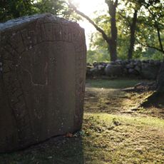
Vg 44
10 km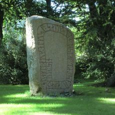
Vg 45 Skalunda kyrka
10 km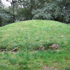
Tun 1:1
12.1 km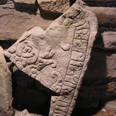
Västergötlands runinskrifter 41
9.8 kmReviews
Visited this place? Tap the stars to rate it and share your experience / photos with the community! Try now! You can cancel it anytime.
Discover hidden gems everywhere you go!
From secret cafés to breathtaking viewpoints, skip the crowded tourist spots and find places that match your style. Our app makes it easy with voice search, smart filtering, route optimization, and insider tips from travelers worldwide. Download now for the complete mobile experience.

A unique approach to discovering new places❞
— Le Figaro
All the places worth exploring❞
— France Info
A tailor-made excursion in just a few clicks❞
— 20 Minutes