
Aspångs kyrka, Hügelgrab in Schweden
Location: Munkedal Municipality
GPS coordinates: 58.60124,11.54076
Latest update: March 12, 2025 10:46
Gemeinde Munkedal
9.3 km
Kville Church
10.7 km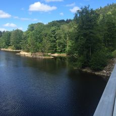
Kärnsjön
8.9 km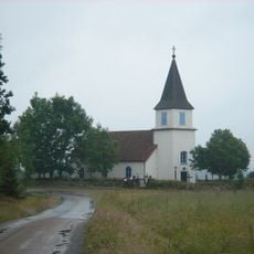
Mo Church
11.4 km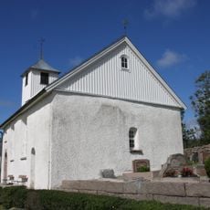
Bottna Church
14.3 km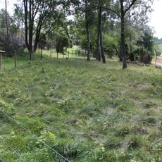
Kville 511:1
13.2 km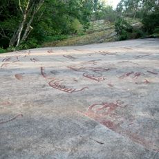
Tanum 325:1
14.1 km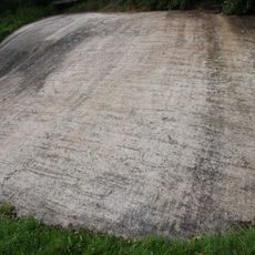
Tanum 311:1
14.2 km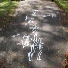
Kville 159:1
13.3 km
Bottna 88:1
12.4 km
Kville 165:1
13.5 km
Tanum 321:1
14.1 km
Tanum 323:1
14.1 km
Kville 158:1
13.4 km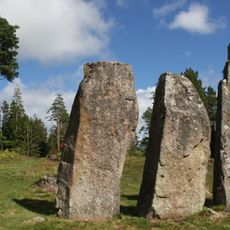
Svenneby 136:1
13.9 km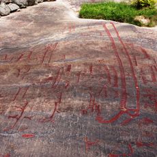
Kville 157:1
13.4 km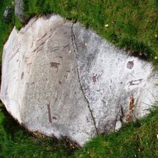
Kville 156:1
13.4 km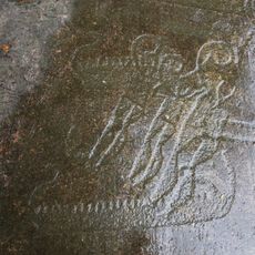
Tanum 248:1
12.1 km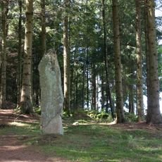
Bottna 139:1
13.6 km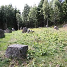
Bottna 140:1
13.9 km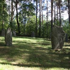
Bottna 173:1
13.2 km
Kville 124:1
8.3 km
Tanum 356:1
12.8 km
Tanum 357:1
12.8 km
Tanum 358:1
12.9 km
Tanum 361:1
12.9 km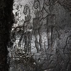
Tanum 405:1
12.5 km
Mo kyrka
11.5 kmReviews
Visited this place? Tap the stars to rate it and share your experience / photos with the community! Try now! You can cancel it anytime.
Discover hidden gems everywhere you go!
From secret cafés to breathtaking viewpoints, skip the crowded tourist spots and find places that match your style. Our app makes it easy with voice search, smart filtering, route optimization, and insider tips from travelers worldwide. Download now for the complete mobile experience.

A unique approach to discovering new places❞
— Le Figaro
All the places worth exploring❞
— France Info
A tailor-made excursion in just a few clicks❞
— 20 Minutes