Säve 348:1, hällristning i Bohuslän
Location: Gothenburg Municipality
GPS coordinates: 57.78772,11.98196
Latest update: November 1, 2025 00:49
Kärra
858 m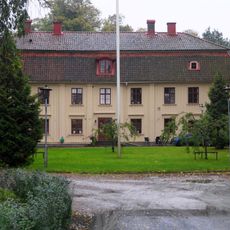
Lärjeholms gård
3.3 km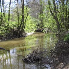
Lärjeån
2.6 km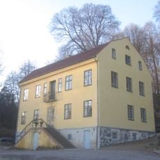
Bäckebols gård
3.1 km
Skändla sörgård
3.2 km
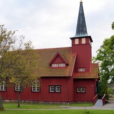
Hjällbo Church
3.1 km
Mariakyrkan i Hammarkullen
2.9 km
Hammarkullen Church
3.3 km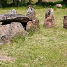
Drottning Hackas Grav
3 km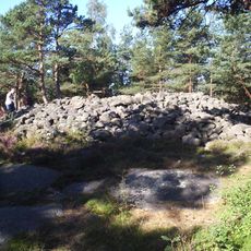
Skändla rös
3.3 km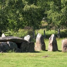
Drottning Hackas grav
3 km
Säve 125:1
2.2 km
Säve 135:1
2.2 km
Borres slott
3.3 km
Skändlarös
3.3 km
Säve 365:1
3.3 km
Säve 363:1
3.2 km
Säve 191:1
1.7 km
Säve 126:1
2.4 km
Säve 57:2
3 km
S:t Görans grav
1.4 km
Angered 15:1
2.9 km
Säve 162:1
544 m![Skändla sörgård Tuve]] 3:19 och del av Tuve 42:4)](https://img5.digsty.com/jkOl_kLzD3T8pQg3zm57I3WstkCXEGyLDka5ti_LV8U/rs:fill:230:230:1/g:fp:0.5:0.5/czM6Ly9hcm91bmR1cy8xNC8xNjQ4NjQzNjktMWQ1YzA4MmYuSlBH.jpg)
Skändla sörgård Tuve]] 3:19 och del av Tuve 42:4)
3.2 km
Scenic viewpoint
2.1 km
Scenic viewpoint
487 m
Scenic viewpoint
2.1 km
Scenic viewpoint
2.2 kmReviews
Visited this place? Tap the stars to rate it and share your experience / photos with the community! Try now! You can cancel it anytime.
Discover hidden gems everywhere you go!
From secret cafés to breathtaking viewpoints, skip the crowded tourist spots and find places that match your style. Our app makes it easy with voice search, smart filtering, route optimization, and insider tips from travelers worldwide. Download now for the complete mobile experience.

A unique approach to discovering new places❞
— Le Figaro
All the places worth exploring❞
— France Info
A tailor-made excursion in just a few clicks❞
— 20 Minutes