Stala 260:1, stone setting in Orust Municipality, Gothenburg and Bohus County, Sweden
Location: Orust Municipality
GPS coordinates: 58.09960,11.68061
Latest update: November 22, 2025 16:05
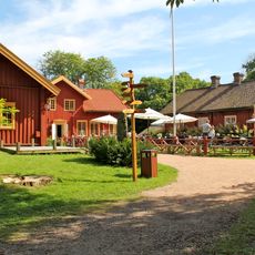
Sundsby
3.3 km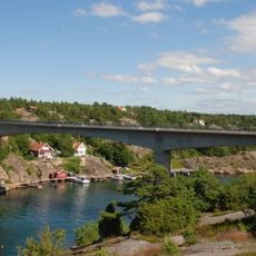
Skåpesundsbron
1.4 km
Stigfjorden
2.5 km
Svanvik
1.2 km
Orusts och Tjörns domsaga
3.4 km
Stala 352
2.2 km
Valla 385:1
3.2 km
Valla 178:1
3.2 km
Stala 103:1
3.3 km
Stala 104:1
1.2 km
Stala 46:1
2.9 km
Valla 105:1
3.1 km
Stala 341
3 km
Stala 260:2
16 m
Stala 346
1.8 km
Stala 40:1
1.4 km
Stala 116:1
3.4 km
Stala 348
1.8 km
Stala 114:1
327 m
Stala 106:1
2.3 km
Stala 115:1
301 m
Stala 47:1
2.7 km
Valla 104:2
3.3 km
Valla 110:1
3.6 km
Stala 115:2
296 m
Valla 104:1
3.3 km
Stala 356
2.2 km
Scenic viewpoint
3 kmReviews
Visited this place? Tap the stars to rate it and share your experience / photos with the community! Try now! You can cancel it anytime.
Discover hidden gems everywhere you go!
From secret cafés to breathtaking viewpoints, skip the crowded tourist spots and find places that match your style. Our app makes it easy with voice search, smart filtering, route optimization, and insider tips from travelers worldwide. Download now for the complete mobile experience.

A unique approach to discovering new places❞
— Le Figaro
All the places worth exploring❞
— France Info
A tailor-made excursion in just a few clicks❞
— 20 Minutes