Brunskog 127:4, hällristning i Värmland
Location: Arvika Municipality
GPS coordinates: 59.69913,12.88480
Latest update: October 26, 2025 19:29
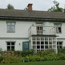
Rackstadmuseet
15.7 km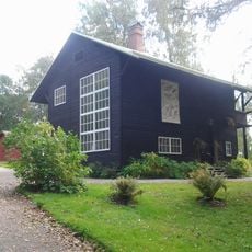
Oppstuhage
15.6 km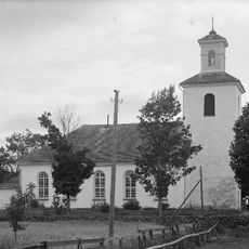
Mangskog Church
6.7 km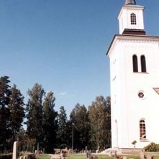
Högeruds kyrka
15.9 km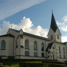
Brunskogs kyrka
5 km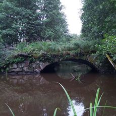
Bro, Slorud
3.5 km
Västra Ämtervik 5:1
13.3 km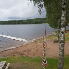
Årnäs, public beach
5.1 km
Brunskog 127:2
41 m
Mangskogs hembygdsgård
7.7 km
Brunskog 127:1
32 m
Nytomta
15.8 km
Västra Ämtervik 5:2
13.3 km
Sunne 51:4
16 km
Sunne 51:2
16 km
Brunskog 127:5
52 m
Brunskog 127:3
46 m
Boda 1:1
14.7 km
Brunskog 8:1
6.9 km
Brunskog 9:1
13.7 km
Sunne 51:3
16 km
Förklaringens Monument
7.7 km
Scenic viewpoint
14.5 km
Rackenutsikten
11.3 km
Scenic viewpoint
15.7 km
Gallberget
10.4 km
Djupdals höjden
9.5 km
Göpommen
10.7 kmReviews
Visited this place? Tap the stars to rate it and share your experience / photos with the community! Try now! You can cancel it anytime.
Discover hidden gems everywhere you go!
From secret cafés to breathtaking viewpoints, skip the crowded tourist spots and find places that match your style. Our app makes it easy with voice search, smart filtering, route optimization, and insider tips from travelers worldwide. Download now for the complete mobile experience.

A unique approach to discovering new places❞
— Le Figaro
All the places worth exploring❞
— France Info
A tailor-made excursion in just a few clicks❞
— 20 Minutes