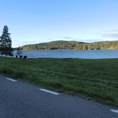
Östervallskog 98:1, husgrund, historisk tid i Värmland
Location: Årjäng Municipality
GPS coordinates: 59.63121,11.94770
Latest update: October 27, 2025 07:27
Björkelången
18.5 km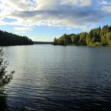
Askesjön
22.8 km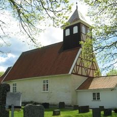
Rødenes Church
20.4 km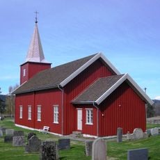
Rømskog Church
13 km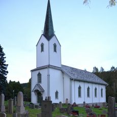
Skillingmark Church
21.1 km
Ögårn at Dusserud
17.8 km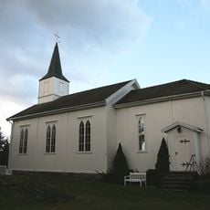
Klund Church
21.2 km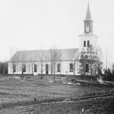
Holmedal Church
17.6 km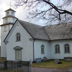
Töcksmark Church
15.2 km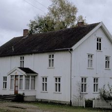
Rødenes Parsonage
20.6 km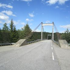
Kroksund Bridge
20.3 km
Falldalen
10.7 km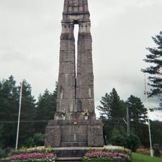
Fredsmonumentet
13.9 km
Järnskog 3:1
9.9 km
Järnskog 22:2
10.7 km
Krigskällaren
16.3 km
Västra Fågelvik 21:1
21.1 km
Järnskog 22:1
10.7 km
Järnskog 2:1
10.5 km
Holmedal 10:1
21.4 km
Holmedal 27:1
15.3 km
Köla 59:1
20.3 km
Köla 104:1
18.6 km
Lund
22.9 km
Isgrotta
22.1 km
Bryelsegrottan
22.5 km
Sailing boat painted on rock
20.8 km
Scenic viewpoint
22.6 kmReviews
Visited this place? Tap the stars to rate it and share your experience / photos with the community! Try now! You can cancel it anytime.
Discover hidden gems everywhere you go!
From secret cafés to breathtaking viewpoints, skip the crowded tourist spots and find places that match your style. Our app makes it easy with voice search, smart filtering, route optimization, and insider tips from travelers worldwide. Download now for the complete mobile experience.

A unique approach to discovering new places❞
— Le Figaro
All the places worth exploring❞
— France Info
A tailor-made excursion in just a few clicks❞
— 20 Minutes