
Kil 37:1, Hügelgrab in Schweden
Location: Örebro Municipality
GPS coordinates: 59.38777,15.09038
Latest update: September 28, 2025 12:05
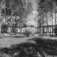
Hålahults sanatorium
5.8 km
Dylta bruk
9.8 km
Ånnaboda
11 km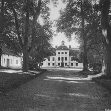
Kåvi
6.1 km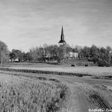
Kils kyrka
1.9 km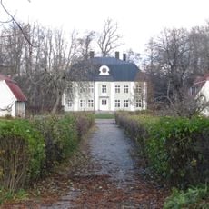
Axbergshammar
7.2 km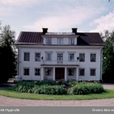
Frösvidal, Närke
6.7 km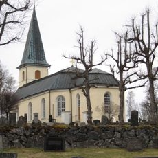
Axberg Church
7.6 km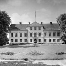
Åkerby
11.1 km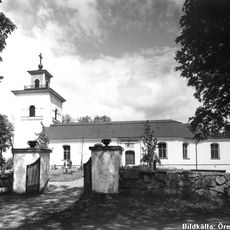
Tysslinge Church
12 km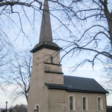
Ekers kyrka
8.3 km
Saint Michael's Church
12.3 km
Skärmarbodabergen
8.3 km
Hjärsta gård
12.4 km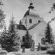
Ervalla Church
10.2 km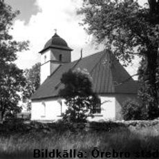
Gräve Church
12 km
Kränglan
12.3 km
Varbergaskogen
12.2 km
Dylta herrgård
9.8 km
Boglundsängen
12 km
Trolldalen
7.2 km
Tysslingen
9.1 km
Garphyttan industrial history museum
12.2 km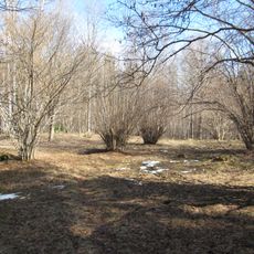
Kåviängen
7.8 km
Lövbrickan
7.4 km
Hässlebyskogen
9 km
Ramshytte ängar
7.7 km
Röbergshagemossen
7.7 kmReviews
Visited this place? Tap the stars to rate it and share your experience / photos with the community! Try now! You can cancel it anytime.
Discover hidden gems everywhere you go!
From secret cafés to breathtaking viewpoints, skip the crowded tourist spots and find places that match your style. Our app makes it easy with voice search, smart filtering, route optimization, and insider tips from travelers worldwide. Download now for the complete mobile experience.

A unique approach to discovering new places❞
— Le Figaro
All the places worth exploring❞
— France Info
A tailor-made excursion in just a few clicks❞
— 20 Minutes