Malå 1274:1, grav markerad av sten/block i Lappland
Location: Malå Municipality
GPS coordinates: 65.27385,19.09939
Latest update: October 27, 2025 10:26
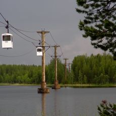
Norsjö ropeway
38 km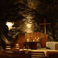
Sankta Anna Underjordskyrka
34.1 km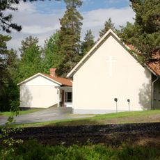
Kristineberg Church
33.8 km
Malå-Storforsen
21.6 km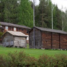
Glommersträsks hembygdsmuseum
24.5 km
Vittjåkk-Akkanålke fjällurskog
29.7 km
Husgrunden vid Lappviken
39.9 km
Gallejaur
19.9 km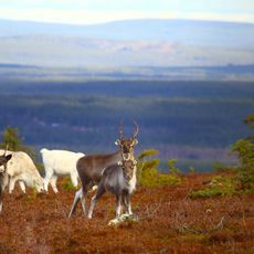
Storsandberget
13.6 km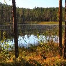
Borup
33.2 km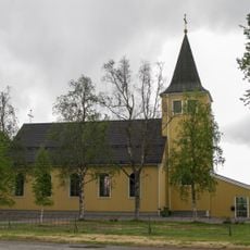
Glommersträsks kyrkobokföringsdistrikt
25.1 km
Svartliden-Whitberget
21 km
Pellobäcken domänreservat
17.4 km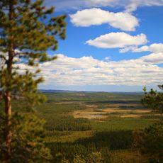
Vithattsmyrarna
28.6 km
Åheden
19.7 km
Bergmyrbäcken
20.3 km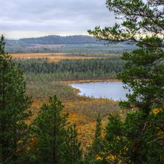
Nymyrtjärnheden
38.2 km
Sankta Anna Underjordskyrka
34.1 km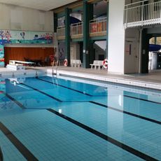
Centrumbadet
35.8 km
Ormtall Gallejaur
19 km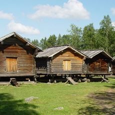
Lappstaden
36.1 km
Sameslöjd/Loppis
35.7 km
Älgarna
35.7 km
Work of art
34.6 km
Work of art
35.7 km
Utsiktsplats
34.4 km
Scenic viewpoint, tower, Observation tower
19.7 km
Scenic viewpoint
25.2 kmReviews
Visited this place? Tap the stars to rate it and share your experience / photos with the community! Try now! You can cancel it anytime.
Discover hidden gems everywhere you go!
From secret cafés to breathtaking viewpoints, skip the crowded tourist spots and find places that match your style. Our app makes it easy with voice search, smart filtering, route optimization, and insider tips from travelers worldwide. Download now for the complete mobile experience.

A unique approach to discovering new places❞
— Le Figaro
All the places worth exploring❞
— France Info
A tailor-made excursion in just a few clicks❞
— 20 Minutes