
Nordmaling 51:4, röse i Ångermanland
Location: Nordmaling Municipality
GPS coordinates: 63.46793,19.30683
Latest update: July 14, 2025 05:56
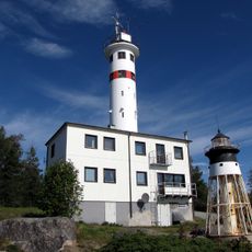
Skagsudde lighthouse
34.4 km
Olofsfors blast furnace
14.4 km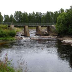
Hörnån
34.2 km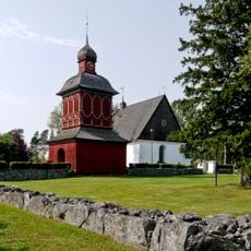
Nordmaling Church
14.9 km
Arnäs parish
27.1 km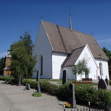
Grundsunda Church
11.9 km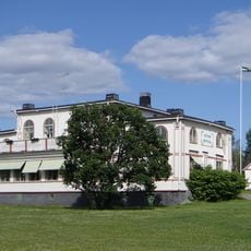
Levar Hotell
15.8 km
Nordmaling parish
11.7 km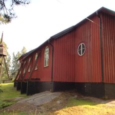
Rundvik Church
10.3 km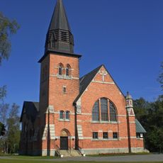
Hörnefors kyrka
34.5 km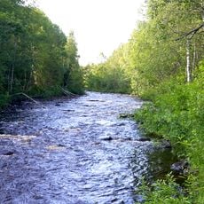
Leduån
12.9 km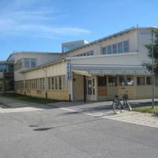
Nordmalings bibliotek
14.8 km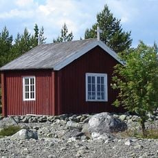
Snöans fiskekapell
29.2 km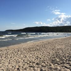
Salusands havsbad
2.5 km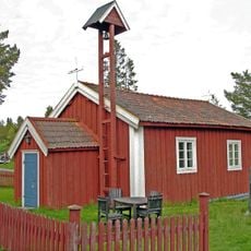
Skeppsmalns kapell
34 km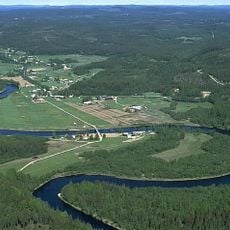
Hummelholm
30.2 km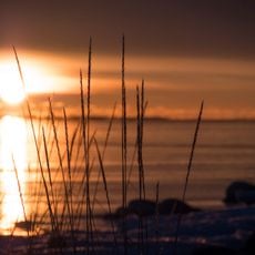
Kronören
7.4 km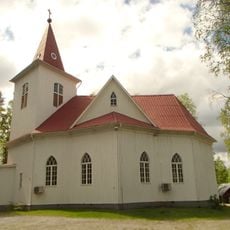
Nyåkers kyrka
32.8 km
Åsens kapell Kasabacka
19.5 km
Skallberget
18.6 km
Torsmyran
21.1 km
Örefjärden-Snöanskärgården
33.4 km
Idbyfjärden
29.7 km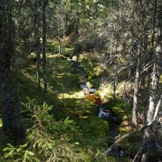
Bjännberget
34.7 km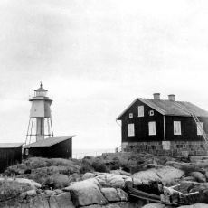
Gråklubben
33.1 km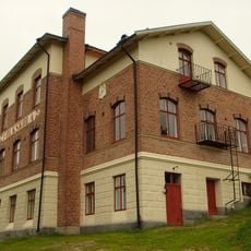
Arnäs skola
30.5 km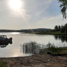
Idbyns Havsbad
29 km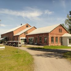
Norrbyskärs Museum
29.9 kmReviews
Visited this place? Tap the stars to rate it and share your experience / photos with the community! Try now! You can cancel it anytime.
Discover hidden gems everywhere you go!
From secret cafés to breathtaking viewpoints, skip the crowded tourist spots and find places that match your style. Our app makes it easy with voice search, smart filtering, route optimization, and insider tips from travelers worldwide. Download now for the complete mobile experience.

A unique approach to discovering new places❞
— Le Figaro
All the places worth exploring❞
— France Info
A tailor-made excursion in just a few clicks❞
— 20 Minutes