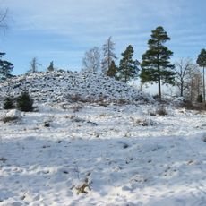
Kolbäck 354:7, hällristning i Västmanland
Location: Hallstahammar Municipality
GPS coordinates: 59.56656,16.20229
Latest update: October 30, 2025 14:43
Värperör
1.4 km
Snevringe tingslag
1.6 km
Kolbäck 354:3
15 m
Kolbäck 354:1
15 m
Kolbäck 354:4
0 m
Kolbäck 263:1
369 m
Kolbäck 343:1
906 m
Kolbäck 263:2
372 m
Kolbäck 44:1
187 m
Kolbäck 350:1
1 km
Kolbäck 3:2
915 m
Kolbäck 354:2
15 m
Kolbäck 353:1
55 m
Kolbäck 344:1
889 m
Kolbäck 52:1
1.3 km
Kolbäck 351:1
609 m
Kolbäck 345:1
943 m
Kolbäck 354:5
1 m
Kolbäck 232:1
1.2 km
Kolbäck 58:2
575 m
Kolbäck 352:1
1.3 km
Kolbäck 311:1
1.2 km
Kolbäck 38:1
1.5 km
Kolbäck 142:2
895 m
Kolbäck 122:1
1.5 km
Kolbäck 58:3
577 m
Kolbäck 19:1
771 m
Kolbäck 107:3
888 mReviews
Visited this place? Tap the stars to rate it and share your experience / photos with the community! Try now! You can cancel it anytime.
Discover hidden gems everywhere you go!
From secret cafés to breathtaking viewpoints, skip the crowded tourist spots and find places that match your style. Our app makes it easy with voice search, smart filtering, route optimization, and insider tips from travelers worldwide. Download now for the complete mobile experience.

A unique approach to discovering new places❞
— Le Figaro
All the places worth exploring❞
— France Info
A tailor-made excursion in just a few clicks❞
— 20 Minutes