
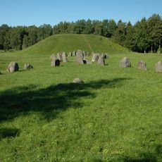
Irsta 67:1, stone setting in Västmanland, Sweden
Location: Västerås Municipality
GPS coordinates: 59.55374,16.66699
Latest update: March 12, 2025 15:44
Anundshög
8.6 km
Svartån
8.6 km
Gäddeholm
472 m
Fullerö Castle
6.9 km
Kokpunkten
8.2 km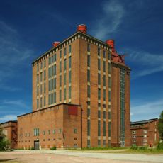
Västerås ångkraftverk
8.2 km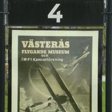
Västerås Flygmuseum
5.1 km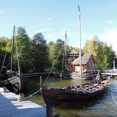
Västerås historiska skeppsmuseum
5.8 km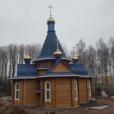
Orthodox church in Västerås
5.6 km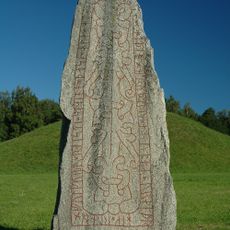
Anundstenen
8.6 km
Viksängskyrkan
7.6 km
Frösåkers gård
5.2 km
Kärrbo Church
4.9 km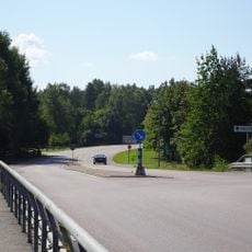
Hamre-Talltorp
6.4 km
Ridö-Sundbyholmsarkipelagen
6.3 km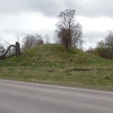
Grytahögen
7.6 km
Veteranbåtsmuseet
8.1 km
Roligheten
3.3 km
Brandthovda-Hälla
7.9 km
Solviksskogen
7.3 km
Hästholmarna
6.1 km
Johannisberg
8.3 km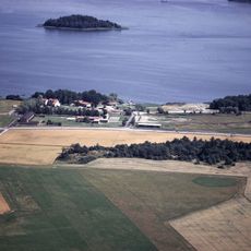
Kattskär
7.8 km
Amundsgrund
7.3 km
Lillåuddsbron
8.4 km
Västerås 475:1
7.6 km
Västerlövsta 42:2
6.4 km
Lillåuddsbron
8.5 kmReviews
Visited this place? Tap the stars to rate it and share your experience / photos with the community! Try now! You can cancel it anytime.
Discover hidden gems everywhere you go!
From secret cafés to breathtaking viewpoints, skip the crowded tourist spots and find places that match your style. Our app makes it easy with voice search, smart filtering, route optimization, and insider tips from travelers worldwide. Download now for the complete mobile experience.

A unique approach to discovering new places❞
— Le Figaro
All the places worth exploring❞
— France Info
A tailor-made excursion in just a few clicks❞
— 20 Minutes