
Kolsva 217:1, hällristning i Västmanland
Location: Köping Municipality
GPS coordinates: 59.54776,15.93936
Latest update: March 10, 2025 22:49
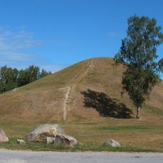
Ströbo hög
3.2 km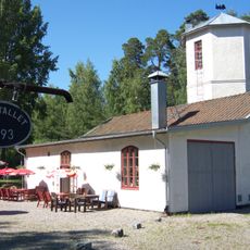
Köping–Uttersberg–Riddarhyttan Railway
5.8 km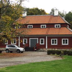
Valsta säteri
2.4 km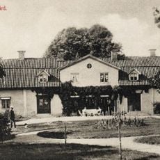
Dåvö
15.4 km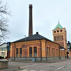
Historical car and technology collections
5.4 km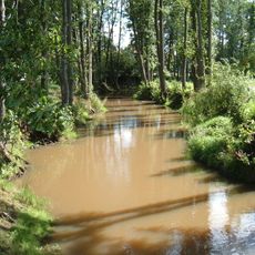
Köping River
10.5 km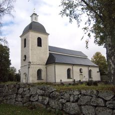
Odensvi Church
4.8 km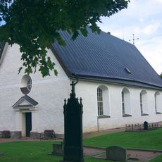
Bergs kyrka
13.6 km
Medåkers kyrka
14.8 km
Himmeta Church
7.5 km
Björskog Church
11.2 km
Kolsva brukskyrka
8 km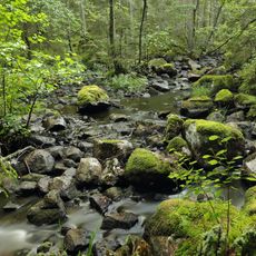
Venabäcken
13.9 km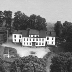
Västlandaholms herrgård
11.7 km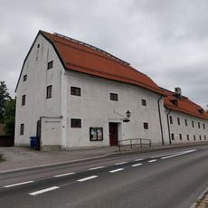
Köpings museum
5.6 km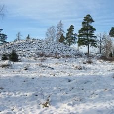
Värperör
14.1 km
Nyströmska gården
5.3 km
Åkerbo och Skinnskattebergs tingslag
4.8 km
Jägaråsen
14.8 km
Tängsta
7.4 km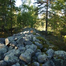
Jätteberget
1.1 km
Munktorps prostgård
11.4 km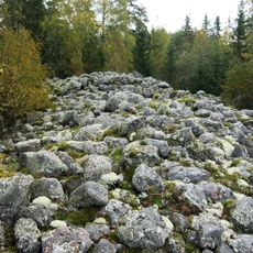
Visberget
10.2 km
Hedströmsdalsarkivet
8 km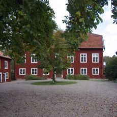
Köpings prostgård
5.3 km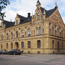
Apotekshuset, Köping
4.8 km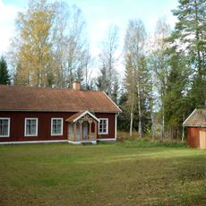
Gisslarbo IOGT-lokal
12.5 km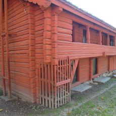
Friluftsmuseet Gammelgården
5.5 kmReviews
Visited this place? Tap the stars to rate it and share your experience / photos with the community! Try now! You can cancel it anytime.
Discover hidden gems everywhere you go!
From secret cafés to breathtaking viewpoints, skip the crowded tourist spots and find places that match your style. Our app makes it easy with voice search, smart filtering, route optimization, and insider tips from travelers worldwide. Download now for the complete mobile experience.

A unique approach to discovering new places❞
— Le Figaro
All the places worth exploring❞
— France Info
A tailor-made excursion in just a few clicks❞
— 20 Minutes