
Munktorp 80:1, röse i Västmanland
Location: Köping Municipality
GPS coordinates: 59.59756,16.11182
Latest update: March 13, 2025 02:56
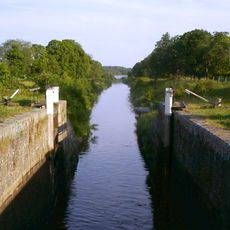
Strömsholm Canal
10.9 km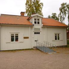
Skantzen
5.8 km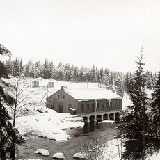
Trångfors kraftstation
6.2 km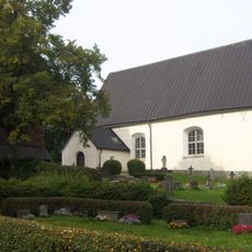
Svedvi Church
9 km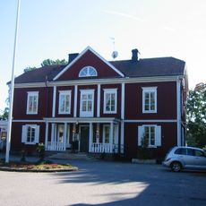
Kolbäcks gästgivaregård
7.9 km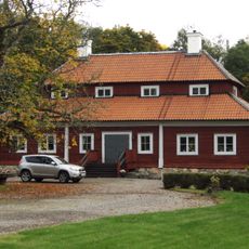
Valsta säteri
10.6 km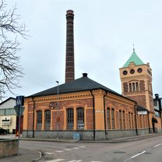
Historical car and technology collections
11.5 km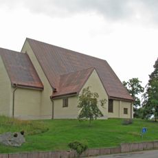
Sankt Lars kyrka, Hallstahammar
7 km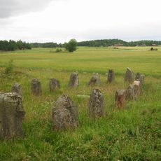
Årby grave field
8.8 km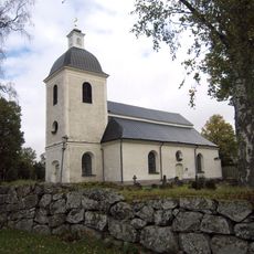
Odensvi Church
7.3 km
Regiondjursjukhuset Strömsholm
11.6 km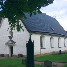
Bergs kyrka
2.8 km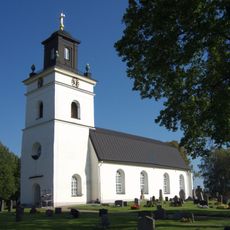
Kolbäck Church
7.9 km
Hallstahammars köping
7 km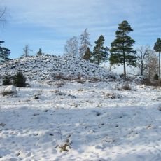
Värperör
4.8 km
Nyströmska gården
11.6 km
Åkerbo och Skinnskattebergs tingslag
11.5 km
Snevringe tingslag
7.6 km
Tängsta
7.5 km
Sörkvarnsforsen
6.2 km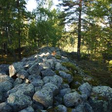
Jätteberget
10.2 km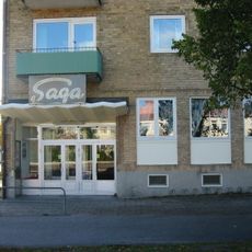
Saga
6.7 km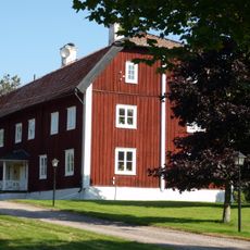
Munktorps prostgård
6.9 km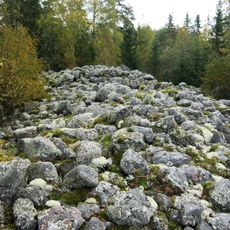
Visberget
2.1 km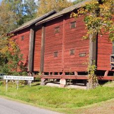
Åsby Lantbruksmuseum
5.4 km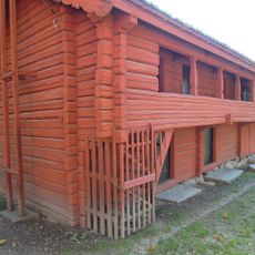
Friluftsmuseet Gammelgården
11.3 km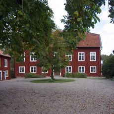
Köpings prostgård
11.6 km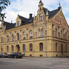
Apotekshuset, Köping
11.5 kmReviews
Visited this place? Tap the stars to rate it and share your experience / photos with the community! Try now! You can cancel it anytime.
Discover hidden gems everywhere you go!
From secret cafés to breathtaking viewpoints, skip the crowded tourist spots and find places that match your style. Our app makes it easy with voice search, smart filtering, route optimization, and insider tips from travelers worldwide. Download now for the complete mobile experience.

A unique approach to discovering new places❞
— Le Figaro
All the places worth exploring❞
— France Info
A tailor-made excursion in just a few clicks❞
— 20 Minutes