Köping 131:1, grave field in Västmanland, Sweden
Location: Köping Municipality
GPS coordinates: 59.49889,16.04010
Latest update: October 25, 2025 15:29
Köping–Uttersberg–Riddarhyttan Railway
2.4 km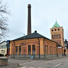
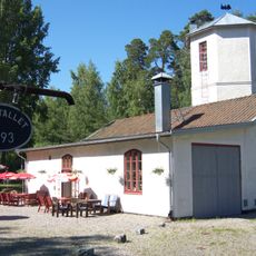
Historical car and technology collections
2.6 km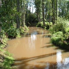
Köping River
2.6 km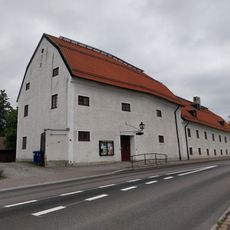
Köpings museum
2.5 km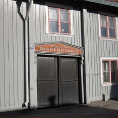
Nyströmska gården
2.7 km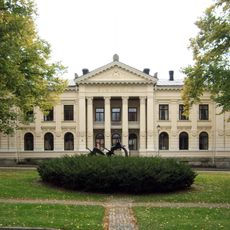
Åkerbo och Skinnskattebergs tingslag
3.2 km
Munktorp 611:1
2.1 km
Munktorp 289:1
1.8 km
Munktorp 289:3
1.8 km
Köping 226:1
3.5 km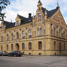
Apotekshuset, Köping
3.2 km
Munktorp 289:2
1.8 km
Köping 42:1
3.7 km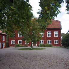
Köpings prostgård
2.7 km
Friluftsmuseet Gammelgården
2.4 km
Köping 185:2
2.9 km
Köping 129:1
2.8 km
Köping 223:1
3.4 km
Munktorp 289:4
1.8 km
Munktorp 611:2
2.1 km
Köping 183:2
3.1 km
Tingshuset
2.7 km
Köping 203:1
2.5 km
Köping 223:2
3.4 km
Köping 223:3
3.4 km
Köping 225:1
3.4 km
Johannastatyn
2.9 km
Work of art, statue
3.2 kmReviews
Visited this place? Tap the stars to rate it and share your experience / photos with the community! Try now! You can cancel it anytime.
Discover hidden gems everywhere you go!
From secret cafés to breathtaking viewpoints, skip the crowded tourist spots and find places that match your style. Our app makes it easy with voice search, smart filtering, route optimization, and insider tips from travelers worldwide. Download now for the complete mobile experience.

A unique approach to discovering new places❞
— Le Figaro
All the places worth exploring❞
— France Info
A tailor-made excursion in just a few clicks❞
— 20 Minutes