Attmar 173:1, husgrund, förhistorisk/medeltida i Medelpad
Location: Sundsvall Municipality
GPS coordinates: 62.28599,16.97150
Latest update: October 25, 2025 13:12
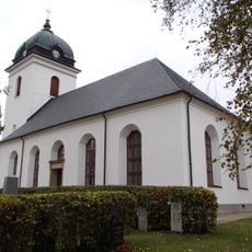
Tuna Church
6.7 km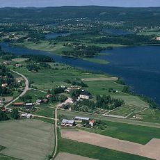
Attmar
5.3 km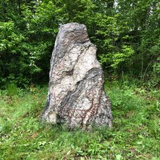
Medelpads runinskrifter 6
7.5 km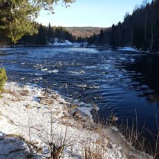
Grenforsen
13.2 km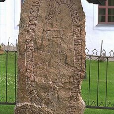
Medelpads runinskrifter 5
5.2 km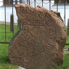
Medelpads runinskrifter 4
5.2 km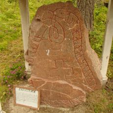
Medelpads runinskrifter 8 (Skölestenen)
8.9 km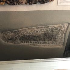
Medelpads runinskrifter 7
6.7 km
Målstaallmänningen
11.3 km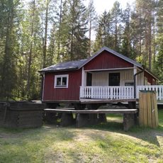
Grenforsen Cottage
13.1 km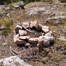
Eldgrop tunomsberget
13.1 km
Tuna 276:1
13.5 km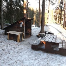
Grenforsen vindskydd
13.2 km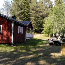
Grenforsen lägerplats
13.1 km
Solkullen
4.7 km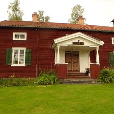
Torkarlsberget
8.9 km
Grenforsen eldgrop
13.1 km
Måle Jättes grav
7.1 km
Grenforsen
13.2 km
Attmar 52:3
4.3 km
Attmar 126:1
12.8 km
Grenforsen
13.2 km
Attmar 85:1
12.3 km
Attmar 52:1
4.3 km
Starkotters grav
8.5 km
Starkotters grav
8.8 km
Kolvägen
9.5 km
Scenic viewpoint
13.2 kmReviews
Visited this place? Tap the stars to rate it and share your experience / photos with the community! Try now! You can cancel it anytime.
Discover hidden gems everywhere you go!
From secret cafés to breathtaking viewpoints, skip the crowded tourist spots and find places that match your style. Our app makes it easy with voice search, smart filtering, route optimization, and insider tips from travelers worldwide. Download now for the complete mobile experience.

A unique approach to discovering new places❞
— Le Figaro
All the places worth exploring❞
— France Info
A tailor-made excursion in just a few clicks❞
— 20 Minutes