
Holm 26:1, church building in Sundsvall Municipality, Sweden
Location: Sundsvall Municipality
GPS coordinates: 62.65600,16.62779
Latest update: June 9, 2025 20:25
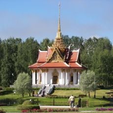
King Chulalongkorn Memorial Building
33.4 km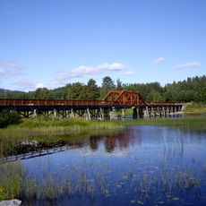
Vikbron
30.8 km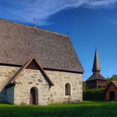
Lidens gamla kyrka
9.6 km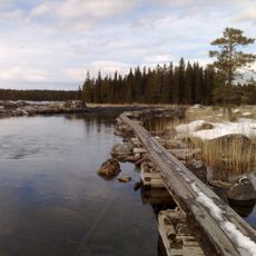
Gimån
25.4 km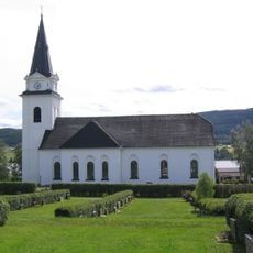
Torps kyrka
29.5 km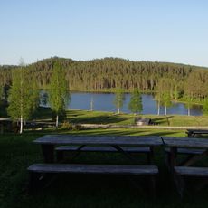
The farm Gudmundstjärn
20.1 km
Stöde Church
26.9 km
Sättna Church
34 km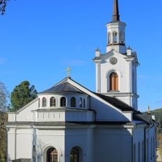
Lidens kyrka
10.1 km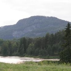
Getberget
32.7 km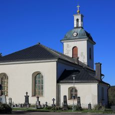
Indals kyrka
25.8 km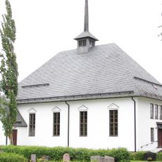
Torpshammar Church
25.5 km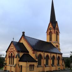
Holms kyrka, Medelpad
174 m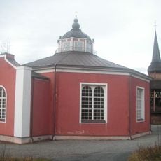
Hällesjö Church
34.8 km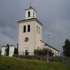
Ljustorp
29.5 km
Indal parish
20.7 km
Åsens sågverk
7.5 km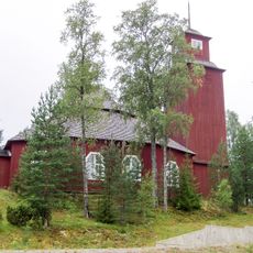
Lagfors Church
28.9 km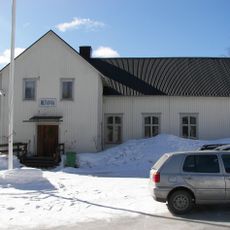
Betania Kovland
34 km
Navarån
10.2 km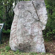
Medelpads runinskrifter 14
34.2 km
Gräfte
29.6 km
Örasjöbäcken-Storsvedjan
27.1 km
Revaberget
30.2 km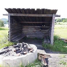
Torpsjön lägerplats
29.7 km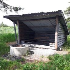
Rogsta
29.9 km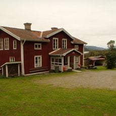
Indals hembygdsgård
24.1 km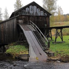
Åsens såg
7.5 kmReviews
Visited this place? Tap the stars to rate it and share your experience / photos with the community! Try now! You can cancel it anytime.
Discover hidden gems everywhere you go!
From secret cafés to breathtaking viewpoints, skip the crowded tourist spots and find places that match your style. Our app makes it easy with voice search, smart filtering, route optimization, and insider tips from travelers worldwide. Download now for the complete mobile experience.

A unique approach to discovering new places❞
— Le Figaro
All the places worth exploring❞
— France Info
A tailor-made excursion in just a few clicks❞
— 20 Minutes