Njurunda 434:1, ristning, medeltid/historisk tid i Medelpad
Location: Sundsvall Municipality
GPS coordinates: 62.22075,17.74010
Latest update: October 25, 2025 15:41
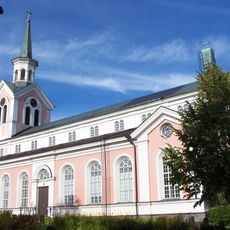
Njurunda
3.2 km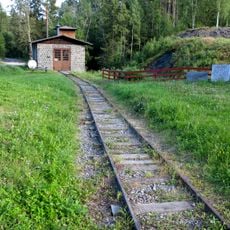
Galtström Railway
14.1 km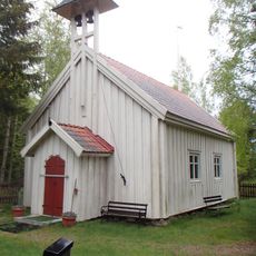
Lörans kapell
4.7 km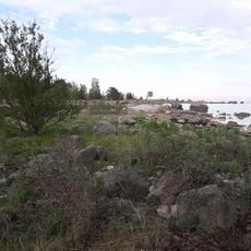
Långören
14.3 km
Berget kallas Omsberget
13.6 km
Njurunda 58:1
11.6 km
Njurunda 71:1
12.6 km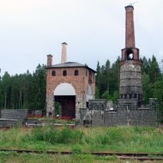
Eisenhütte Galtström
14.1 km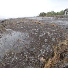
Njurunda 427:1
4.4 km
Njurunda 58:2
11.6 km
Njurunda 72:1
12.5 km
Njurunda 53:2
11.5 km
Njurunda 52:1
14.2 km
Njurunda 71:2
12.6 km
Njurunda 195:1
14 km
Njurunda 77:1
13.6 km
Njurunda 76:1
13.6 km
Njurunda 69:1
12.9 km
Njurunda 77:2
13.7 km
Njurunda 416:1
4.6 km
Njurunda 426:1
5.4 km
Njurunda 53:1
11.5 km
Njurunda 427:2
4.3 km
Njurunda 482:1
13.4 km
Njurunda 52:2
14.2 km
Berget kallas Omsberget
13.6 km
Njurunda 77:3
13.7 km
Berget kallas Omsberget
13.7 kmReviews
Visited this place? Tap the stars to rate it and share your experience / photos with the community! Try now! You can cancel it anytime.
Discover hidden gems everywhere you go!
From secret cafés to breathtaking viewpoints, skip the crowded tourist spots and find places that match your style. Our app makes it easy with voice search, smart filtering, route optimization, and insider tips from travelers worldwide. Download now for the complete mobile experience.

A unique approach to discovering new places❞
— Le Figaro
All the places worth exploring❞
— France Info
A tailor-made excursion in just a few clicks❞
— 20 Minutes