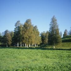
Njurunda 453:4, husgrund, förhistorisk/medeltida i Medelpad
Location: Sundsvall Municipality
GPS coordinates: 62.26074,17.34663
Latest update: October 25, 2025 14:37
Kvissle-Nolby-Prästbolet
3.6 km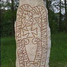
Burestenen
3.6 km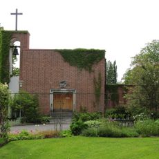
Mjösunds begravningskapell
2.1 km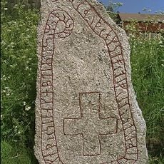
Medelpads runinskrifter 3
3.5 km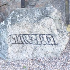
Medelpads runinskrifter 2
1.5 km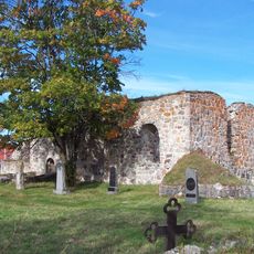
Njurunda kyrkoruin
1.7 km
Njurunda 341:2
4.6 km
Kvissle kapell
2.8 km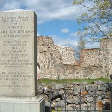
Njurunda 228:1
1.7 km
Njurunda 459:1
1.6 km
Njurunda 390:1
4.1 km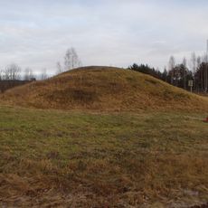
Tingstajalabacken
3.5 km
Njurunda 182:1
4.2 km
Hummelviksberget
746 m
Njurunda 259:1
3.1 km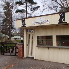
Ovansjöparken
3.4 km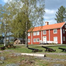
Njurunda hembygdsgård
2 km
Njurunda 171:1
4.8 km
Njurunda 171:4
4.8 km
Hummelviksberget
790 m
Njurunda 183:1
4.4 km
Njurunda 183:2
4.4 km
Njurunda 184:1
4.5 km
Njurunda 186:1
5.1 km
Njurunda 341:1
4.6 km
Porten
4.3 km
Stolsdans
4.3 km
Mykes
4.3 kmReviews
Visited this place? Tap the stars to rate it and share your experience / photos with the community! Try now! You can cancel it anytime.
Discover hidden gems everywhere you go!
From secret cafés to breathtaking viewpoints, skip the crowded tourist spots and find places that match your style. Our app makes it easy with voice search, smart filtering, route optimization, and insider tips from travelers worldwide. Download now for the complete mobile experience.

A unique approach to discovering new places❞
— Le Figaro
All the places worth exploring❞
— France Info
A tailor-made excursion in just a few clicks❞
— 20 Minutes