Björnedbodarna, fäbod i Ångermanland (Torsåker 100:1)
Location: Kramfors Municipality
GPS coordinates: 63.02658,17.35664
Latest update: November 23, 2025 07:17
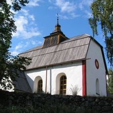
Ytterlännäs parish
8.4 km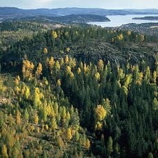
Borgberget (Ytterlännäs)
13.5 km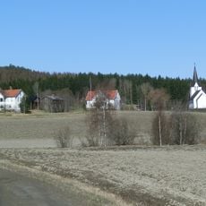
Kyrkdal
13.8 km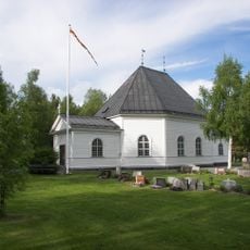
Graninge parish
14.3 km
Dals kyrka
13.7 km
Dals parish
11.2 km
Döraberget
6.8 km
Älgberget-Björnberget
11.8 km
Edskullen
9.1 km
Långbroberget
10.5 km
Sundsjöhöjdens naturreservat
11.3 km
Drickesmyrhöjden
14 km
Bjursjöberget-Hålldammberget
13.5 km
Hammarshöjden
6 km
Björnberget
13.1 km
Ytterlännäs 23:1
10.5 km
Borgberget
13.5 km
Hammarsbodarna
5.4 km
Stensättersbodarna
8.3 km
Forsedsbodarna
6 km
Ytterlännäs 21:1
13.7 km
Borgberget
13.5 km
Trästa Fäbodevall
12.7 km
Hallsta västra fäbodar
13.2 km
Sörgraningebodarna
13.9 km
Dal 31:1
14.1 km
Dal 2:2
14.4 km
Scenic viewpoint
13.5 kmReviews
Visited this place? Tap the stars to rate it and share your experience / photos with the community! Try now! You can cancel it anytime.
Discover hidden gems everywhere you go!
From secret cafés to breathtaking viewpoints, skip the crowded tourist spots and find places that match your style. Our app makes it easy with voice search, smart filtering, route optimization, and insider tips from travelers worldwide. Download now for the complete mobile experience.

A unique approach to discovering new places❞
— Le Figaro
All the places worth exploring❞
— France Info
A tailor-made excursion in just a few clicks❞
— 20 Minutes