Kramfors Municipality, Municipal administrative division in Västernorrland County, Sweden
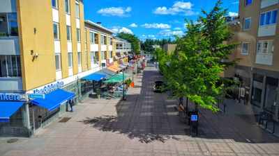
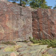
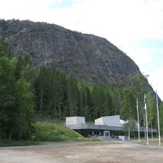
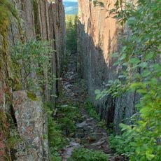
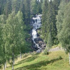
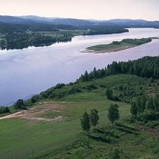
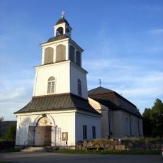
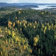
Kramfors Municipality is an administrative division on Sweden's eastern coast comprising forests and waterways in a landscape shaped by rivers and dense woodlands. The territory stretches across a large area with several smaller communities scattered throughout.
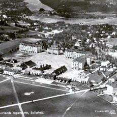
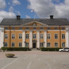
The municipality took its modern form during Sweden's 1974 administrative reform, when eleven separate districts merged into one unit following its city status gained in 1947. This consolidation created the framework that still governs the area today.
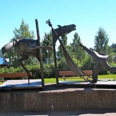
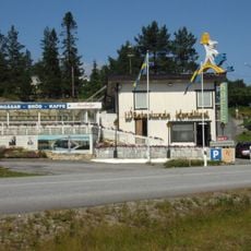
Local associations drive community life, organizing sports events and musical groups that bring people together regularly. This strong sense of cooperation reflects how residents maintain their social bonds across the region.
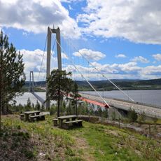
The area is accessible through the Botniabanan railway, the E4 highway, and Höga Kusten Airport, connecting travelers to major Swedish destinations. Winter brings extended darkness and cold, while summer offers continuous daylight for extended exploration.
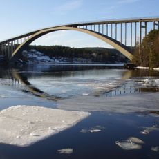
The 1943 Sandö Bridge was once Sweden's longest concrete arch span and represented a major engineering accomplishment of the postwar era. This structure made the region notable for its early modern infrastructure achievements.
The community of curious travelers
AroundUs brings together thousands of curated places, local tips, and hidden gems, enriched daily by 60,000 contributors worldwide.