
Gammönskabodarna, fäbod i Ångermanland (Skorped 22:1)
Location: Örnsköldsvik Municipality
GPS coordinates: 63.41931,17.73839
Latest update: May 30, 2025 23:10
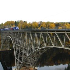
Forsmo Bridge
31.5 km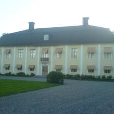
Holms säteri
28.1 km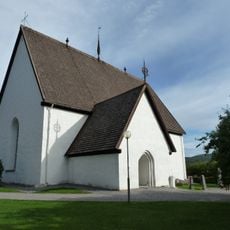
Anundsjö church
19.1 km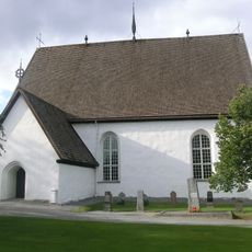
Anundsjö parish
27.6 km
Eds parish
26.3 km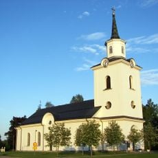
Multrå och Sånga
31.1 km
Sidensjö Church
31.2 km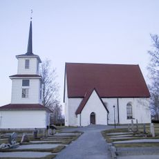
Sidensjö
23.1 km
Boteå Church
31.6 km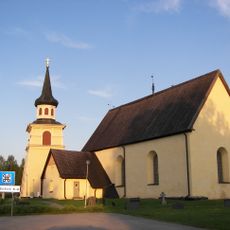
Ботео
26.4 km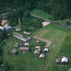
Gammelgården i Myckelgensjö
18.3 km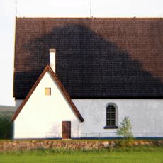
Överlännäs Church
29.3 km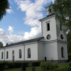
Resele Church
34.5 km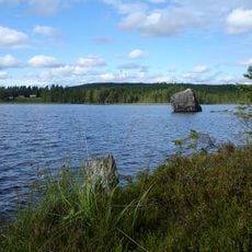
Rock art at Åbodsjön
28.6 km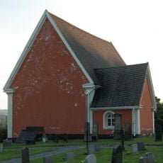
Sånga Church
28.1 km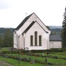
Eds kyrka, Ångermanland
33.2 km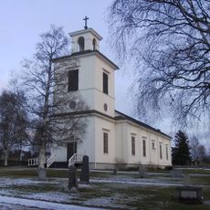
Skorpeds kyrka
9.3 km
Resele
30.3 km
Skorped
6.1 km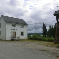
Myckelgensjö lillkyrka
18.6 km
Nävernäsan
30.3 km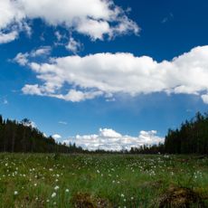
Oringsjö
30.1 km
Storklocken
19.4 km
Trefaldighetsdalen
35 km
Rankarberget
33 km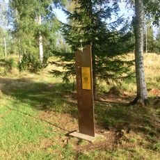
Björkå gravfält
28.4 km
Holms gravfält
28.6 km
Winblad family burial plot
20.2 kmReviews
Visited this place? Tap the stars to rate it and share your experience / photos with the community! Try now! You can cancel it anytime.
Discover hidden gems everywhere you go!
From secret cafés to breathtaking viewpoints, skip the crowded tourist spots and find places that match your style. Our app makes it easy with voice search, smart filtering, route optimization, and insider tips from travelers worldwide. Download now for the complete mobile experience.

A unique approach to discovering new places❞
— Le Figaro
All the places worth exploring❞
— France Info
A tailor-made excursion in just a few clicks❞
— 20 Minutes