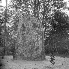
Simtuna 137:1, röse i Uppland
Location: Enköping Municipality
GPS coordinates: 59.75961,16.91790
Latest update: October 29, 2025 17:09
Uppland Runic Inscription 1158
3.8 km
Rune stone Ashmolean AN1997.1
2.3 km
Uppland Runic Inscription 1153
4.5 km
Uppland Runic Inscription 1151
5.2 km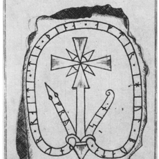
Uppland Runic Inscription 1154
3.8 km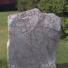
Upplands runinskrifter 1157
4.1 km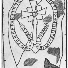
Uppland Runic Inscription 1156
3.5 km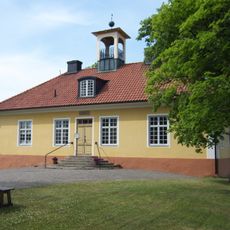
Simtuna tingslag
2.5 km
Fjärdhundra bibliotek
1.8 km
Simtuna 127:1
3.3 km
Torstuna 165:1
5.3 km
Simtuna 75:1
2.8 km
Frösthult 16:1
4.8 km
Frösthult 32:1
756 m
Frösthult 188
5.2 km
Frösthult 33:1
887 m
Torstuna 162:1
5.3 km
Torstuna 164:1
5.3 km
Frösthult 224
3.9 km
Torstuna 185:1
5.3 km
Frösthult 130:1
1.7 km
Frösthult 191
5.3 km
Frösthult 200
5 km
Torstuna 67:1
4.9 km
Simtuna 148:1
1.1 km
Simtuna 73:1
2.2 km
Simtuna 72:2
3.4 km
Simtuna 69:1
3.1 kmReviews
Visited this place? Tap the stars to rate it and share your experience / photos with the community! Try now! You can cancel it anytime.
Discover hidden gems everywhere you go!
From secret cafés to breathtaking viewpoints, skip the crowded tourist spots and find places that match your style. Our app makes it easy with voice search, smart filtering, route optimization, and insider tips from travelers worldwide. Download now for the complete mobile experience.

A unique approach to discovering new places❞
— Le Figaro
All the places worth exploring❞
— France Info
A tailor-made excursion in just a few clicks❞
— 20 Minutes