
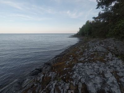
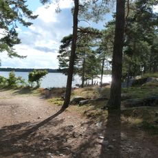
Getgarsudde, nature reserve in Värmland, Sweden
Location: Grums Municipality
Inception: March 21, 1977
GPS coordinates: 59.27199,13.16242
Latest update: March 7, 2025 04:02
Skutberget
17.1 km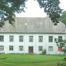
Bråte Gård
8.3 km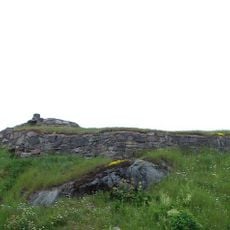
Edsholms Castle
7.6 km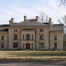
Höglunda
18 km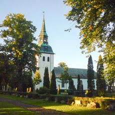
Nors kyrka
15.6 km
Hammarö
20.1 km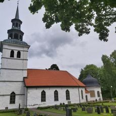
Borgvik Church
14.4 km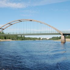
Jakobsbergsbron
20.4 km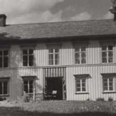
Grums köping
9.1 km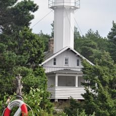
Hammarö Skage
19.6 km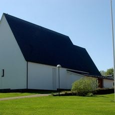
Skoghalls kyrka
18.1 km
Huggenäs Church
17.2 km
Segerstads skärgård
6.6 km
Stavik lighthouse
11.4 km
Hammarö 11:1
18.6 km
Stora Kil 84:1
5.2 km
Stora Kil 52:1
5.4 km
Grums härads avrättningsplats
14.9 km
Borgviks museum
14.7 km
Hammarö 24:1
16.9 km
Solbergskyrkan
9.3 km
Borgviks herrgård
14.5 km
Milsten, Borgviks socken
14.9 km
Säffle marinmotormuseum
18.3 km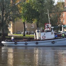
Bogserbåten Rolf
19.1 km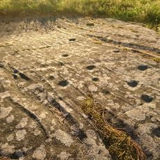
Hammarö 31:1
17.7 km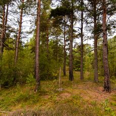
Karlstad 53:1
19.3 km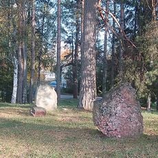
Hammarö 9:1
19.5 kmReviews
Visited this place? Tap the stars to rate it and share your experience / photos with the community! Try now! You can cancel it anytime.
Discover hidden gems everywhere you go!
From secret cafés to breathtaking viewpoints, skip the crowded tourist spots and find places that match your style. Our app makes it easy with voice search, smart filtering, route optimization, and insider tips from travelers worldwide. Download now for the complete mobile experience.

A unique approach to discovering new places❞
— Le Figaro
All the places worth exploring❞
— France Info
A tailor-made excursion in just a few clicks❞
— 20 Minutes