
Ståha-stugan
Location: Vaggeryd Municipality
Inception: 1829
GPS coordinates: 57.37096,14.17900
Latest update: April 23, 2025 12:11
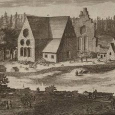
Nydala Abbey
10.8 km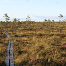
Store Mosse National Park
17.1 km
Hook Mansion
19.5 km
Finnvedsvallen
21.1 km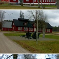
Skillingaryd military range
7.8 km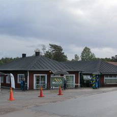
Miliseum
7.7 km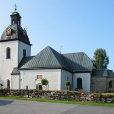
Kloster Byarum
18.7 km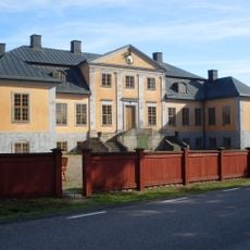
Hörle herrgård
14 km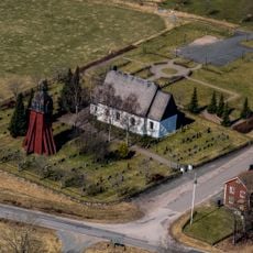
Hagshult Church
3.5 km
Lundholmen
16.8 km
Vaggeryd Church
14.5 km
Vrigstad Church
17.5 km
Åkers kyrka, Småland
11.1 km
Hylletofta Church
20 km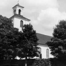
Tofteryd Church
3.8 km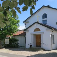
Skillingaryds kyrka
8.5 km
Stora Gungflyet
15.3 km
Hatten
17.7 km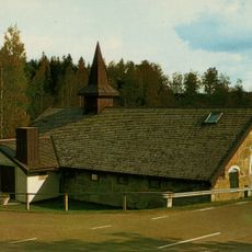
Marieholms kyrka
19.3 km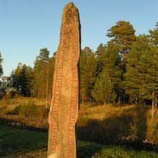
Smålands runinskrifter 64
19.8 km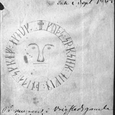
Smålands runinskrifter 81
17.5 km
Centrum
14.1 km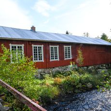
Kvarnabergs hjulmakeri
18.7 km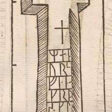
Sm 65, Åkers prästgård
11.1 km
Sm 75, Morarp
17.1 km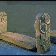
Sm 83, Vrigstads kyrkogård
17.5 km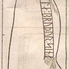
Sm 84, Biskopsbo
19.2 km
Sm 82, Vrigstads gamla kyrka
17.5 kmReviews
Visited this place? Tap the stars to rate it and share your experience / photos with the community! Try now! You can cancel it anytime.
Discover hidden gems everywhere you go!
From secret cafés to breathtaking viewpoints, skip the crowded tourist spots and find places that match your style. Our app makes it easy with voice search, smart filtering, route optimization, and insider tips from travelers worldwide. Download now for the complete mobile experience.

A unique approach to discovering new places❞
— Le Figaro
All the places worth exploring❞
— France Info
A tailor-made excursion in just a few clicks❞
— 20 Minutes