Inner Road lower light, lighthouse in Sölvesborg Municipality, south coast, Sweden
Location: Sölvesborg Municipality
Inception: 1963
GPS coordinates: 56.03789,14.57967
Latest update: November 24, 2023 23:13
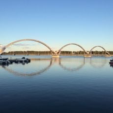
Sölvesborg bridge
1.7 km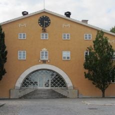
Listers härads tingshus, Sölvesborg
1.5 km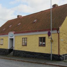
Gamla fattighuset
1.6 km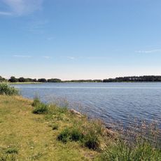
Sölvesborgsviken
1.7 km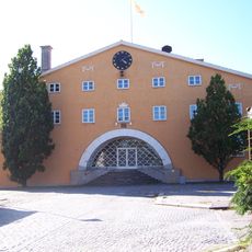
Listers och Sölvesborgs domsaga
951 m
Listers och Sölvesborgs domsagas tingslag
951 m
Brötalyckornas naturreservat
1.7 km
Scala
1.7 km
Sölvesborg lower light
686 m
Sölvesborg upper light
1.1 km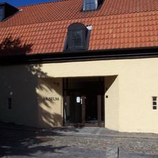
Sölvesborg Museum
1.6 km
Sölvesborg Channel No 5
741 m
Rådmansholmen upper light
1.1 km
Innerhamnen nedre
1.5 km
Innerhamnen övre
1.5 km
Varvsrännan lower light
1 km
Herrmans Heja lower light
1.7 km
Rådmansholmen lower light
917 m
Inner Road upper light
90 m
Varvshistoriska föreningen i Sölvesborg
436 m
Sölvesborg Channel No 6
1 km
Sölvesborg 32:1
1.6 km
Varvshistoriska föreningen i Malmö
436 m
Varvsrännan upper light
1.1 km
Herrmans Heja upper light
1.6 km
Sölvesborgs Golfklubb
1.6 km
Gamla fattighuset
1.6 km
Rågångsnabben
1.4 kmReviews
Visited this place? Tap the stars to rate it and share your experience / photos with the community! Try now! You can cancel it anytime.
Discover hidden gems everywhere you go!
From secret cafés to breathtaking viewpoints, skip the crowded tourist spots and find places that match your style. Our app makes it easy with voice search, smart filtering, route optimization, and insider tips from travelers worldwide. Download now for the complete mobile experience.

A unique approach to discovering new places❞
— Le Figaro
All the places worth exploring❞
— France Info
A tailor-made excursion in just a few clicks❞
— 20 Minutes