
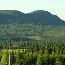
Hälltjärnberget, محمية طبيعية في السويد
Location: Vindeln Municipality
Inception: June 15, 2017
Operator: Länsstyrelsen i Västerbottens län
GPS coordinates: 64.24088,19.55911
Latest update: July 2, 2025 20:41
Bjurholm Municipality
40.9 km
Vännäs Municipality
32.8 km
Vännäs läger
37.9 km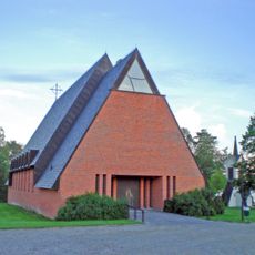
Tavelsjö Church
33.1 km
Bjurholm parish
41.8 km
Vännäs Church
38.1 km
Hjuken
8.2 km
Vallberget
35.3 km
Vännäs motormuseum
38 km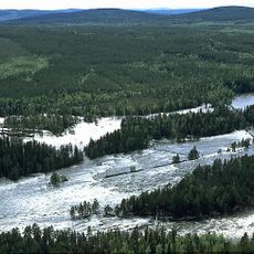
Vindelälven-Juhttátahkka Biosphere Reserve
8.9 km
Balberget
39.6 km
Vännäsbadet
37.7 km
Mariakapellet, Vännäs
38.1 km
Slipstensjön
26.1 km
Örträsksjön
31.2 km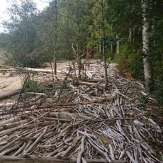
Vännforsen
32.3 km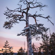
Starrberget
34 km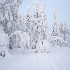
Vitbergen
43.4 km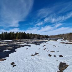
Vindelforsarna
7.8 km
Markuskapellet
38.4 km
Skivsjö kapell
18 km
Kammen
24.4 km
Hjukenåsarna
8.7 km
Överbo
44.6 km
Degerö Stormyr
7.1 km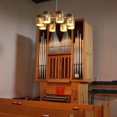
Mariakapellets orgel av Kangasala orgelfabrik
38.1 km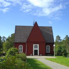
Sankt Mikaels kapell
8.7 km
Vännäs läger
37.9 kmReviews
Visited this place? Tap the stars to rate it and share your experience / photos with the community! Try now! You can cancel it anytime.
Discover hidden gems everywhere you go!
From secret cafés to breathtaking viewpoints, skip the crowded tourist spots and find places that match your style. Our app makes it easy with voice search, smart filtering, route optimization, and insider tips from travelers worldwide. Download now for the complete mobile experience.

A unique approach to discovering new places❞
— Le Figaro
All the places worth exploring❞
— France Info
A tailor-made excursion in just a few clicks❞
— 20 Minutes