
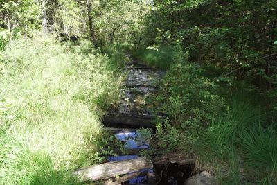
Skårs naturreservat, nature reserve
Location: Ale Municipality
Inception: April 21, 2017
GPS coordinates: 58.01450,12.28052
Latest update: March 7, 2025 18:35
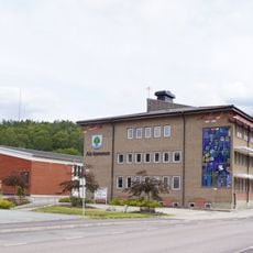
Gemeinde Ale
1.6 km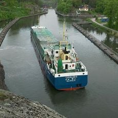
Trollhätte Canal
9.3 km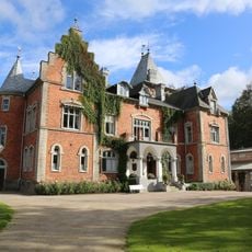
Thorskogs Grand Manor House
8.7 km
Lödöse museum
7.8 km
Alvhems kungsgård
6 km
Skepplanda Church
5 km
Hultasjön, Ale Municipality
9.1 km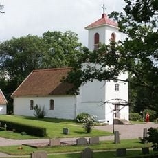
Kilanda Church
9.3 km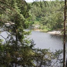
Risveden etapp 2 (Kroksjön)
5.4 km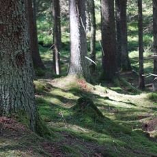
Verleskogens naturreservat
6.1 km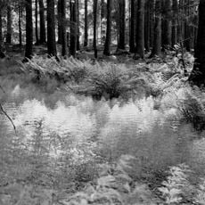
Slereboåns dalgång
880 m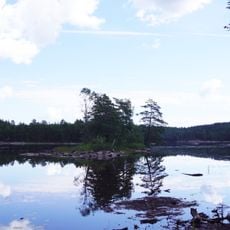
Holmevattnet, Ale Municipality
5.3 km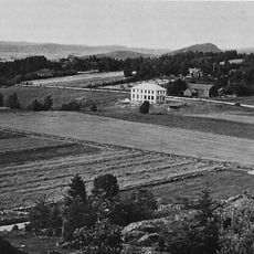
Ramstorp Jätteberget
6.8 km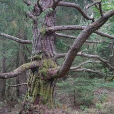
Iglekärrs naturreservat
3.6 km
Sålanda and Ryk
4.5 km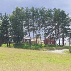
Skönningared
8.8 km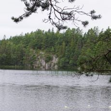
Bergsjön
850 m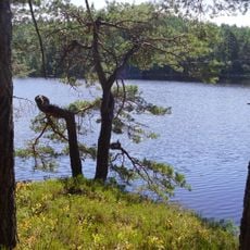
Risvedens vildmark
4.3 km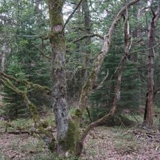
Ekliden
3.3 km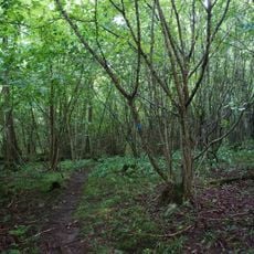
Rapenskårs lövskogar
3 km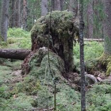
Färdsleskogens naturreservat
1.6 km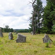
Kungsstenarna
9.2 km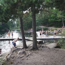
Hultasjön, public beach
8.9 km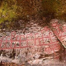
Skepplanda 20:1
5.9 km
Västergötlands runinskrifter 262
7.7 km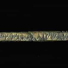
Västergötlands runinskrifter 270
7.9 km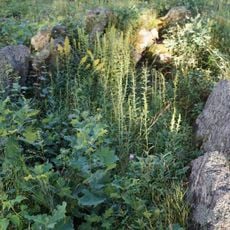
Kungsgraven
2.5 km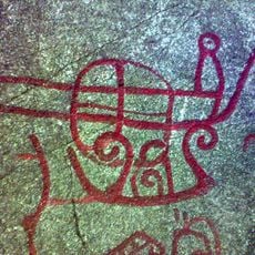
Skepplanda 56:1
6.7 kmReviews
Visited this place? Tap the stars to rate it and share your experience / photos with the community! Try now! You can cancel it anytime.
Discover hidden gems everywhere you go!
From secret cafés to breathtaking viewpoints, skip the crowded tourist spots and find places that match your style. Our app makes it easy with voice search, smart filtering, route optimization, and insider tips from travelers worldwide. Download now for the complete mobile experience.

A unique approach to discovering new places❞
— Le Figaro
All the places worth exploring❞
— France Info
A tailor-made excursion in just a few clicks❞
— 20 Minutes