
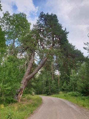
Klintatallen, naturminne i Sala kommun
Location: Sala Municipality
Inception: July 27, 1944
GPS coordinates: 60.06982,16.48829
Latest update: March 10, 2025 17:22
Östanbäck Monastery
15.9 km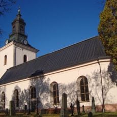
By Church
14.7 km
Sala sockenkyrka
16.9 km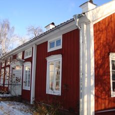
Tolvmansgården
14.4 km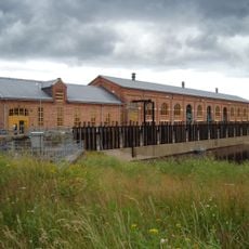
Old hydroelectric power plant of Näs bruk
11.9 km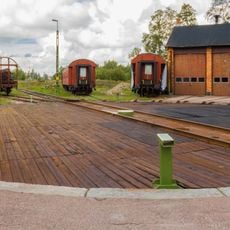
Krylbo motive power depot
15.8 km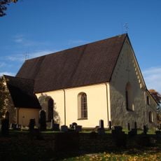
Möklinta Church
3.8 km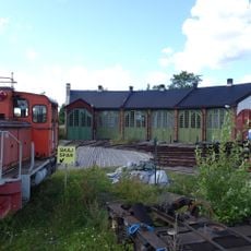
Stockholms Kultursällskap för Ånga och Järnväg
15.9 km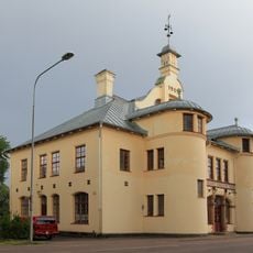
Krylbo tingshus
16.3 km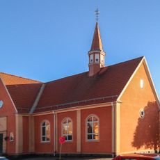
Krylbo Church
16.8 km
Möklinta traktor och nostalgimuseum
2.6 km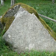
Västmanlands runinskrifter 31
12.8 km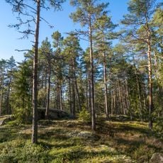
Boberget
7.7 km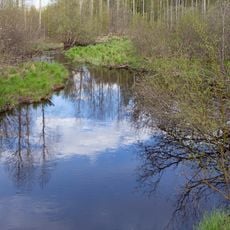
Svartån
15.7 km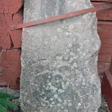
Västmanlands runinskrifter 30
3.5 km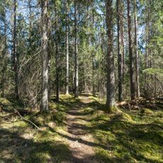
Katrinelund
15 km
Härsta
15.6 km
Möklinta 159:1
8.2 km
Sala socken 83:3
16 km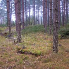
Västerfärnebo 17:1
9.7 km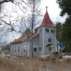
Broddbo kapell
9.1 km
Sala socken 83:5
16 km
Folkärna 68:3
16.7 km
Sala socken 83:2
15.9 km
Sala socken 83:1
15.9 km
Sala socken 83:4
16 km
Videbo f.d. prästboställe
15.8 km
Sala socken 130:1
16.1 kmReviews
Visited this place? Tap the stars to rate it and share your experience / photos with the community! Try now! You can cancel it anytime.
Discover hidden gems everywhere you go!
From secret cafés to breathtaking viewpoints, skip the crowded tourist spots and find places that match your style. Our app makes it easy with voice search, smart filtering, route optimization, and insider tips from travelers worldwide. Download now for the complete mobile experience.

A unique approach to discovering new places❞
— Le Figaro
All the places worth exploring❞
— France Info
A tailor-made excursion in just a few clicks❞
— 20 Minutes