
2004082 Tall, naturminne i Borlänge kommun
Location: Borlänge Municipality
Inception: December 31, 1945
GPS coordinates: 60.40310,15.18191
Latest update: August 18, 2025 19:24
Gagnef Municipality
14.7 km
Domnarvsvallen
17.2 km
Frostbrunnsdalen
16.6 km
Jätturn
15.8 km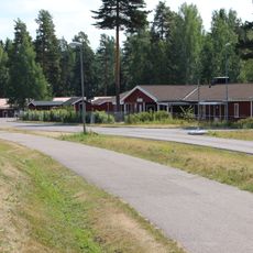
Skräddarbacken
12.8 km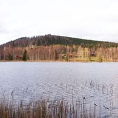
Hästbergs klack
10.4 km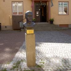
Jussi Björlingmuseum
16.4 km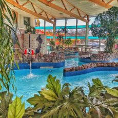
Aqua Nova
16 km
Gyllbergen
3.5 km
Mockfjärds kyrka
16 km
Åselby
16.1 km
Folkets hus, Borlänge
16.6 km
Villa Drake
16.4 km
Djurås
16.1 km
Tanså hytta
16 km
2047 Science Center
16.6 km
Västertuna kapell
9.7 km
Domnarvets industriskola
17.1 km
Hagakyrkan, Borlänge
16.8 km
Kvarnsvedens kyrka
17.6 km
Idkerbergets kapell
3.9 km
CTH factory museum
16.7 km
Lindan and Baggarvet
12.8 km
Falu domsagas södra tingslag
16.5 km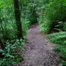
Smäcken
16.2 km
Båtstad-Mellsta
16.2 km
Tvärstupet
14.5 km
2004169 (W-id) Fornbyasken
16.6 kmReviews
Visited this place? Tap the stars to rate it and share your experience / photos with the community! Try now! You can cancel it anytime.
Discover hidden gems everywhere you go!
From secret cafés to breathtaking viewpoints, skip the crowded tourist spots and find places that match your style. Our app makes it easy with voice search, smart filtering, route optimization, and insider tips from travelers worldwide. Download now for the complete mobile experience.

A unique approach to discovering new places❞
— Le Figaro
All the places worth exploring❞
— France Info
A tailor-made excursion in just a few clicks❞
— 20 Minutes