
2 ekar, Ulfsätter, naturminne i Hallsbergs kommun
Location: Hallsberg Municipality
Inception: December 20, 1948
GPS coordinates: 59.06452,15.06209
Latest update: May 29, 2025 20:35
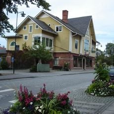
Bergööska huset
3 km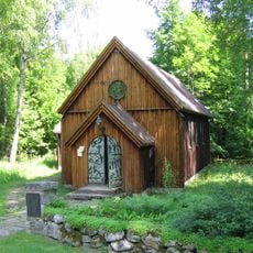
Saint Olaf's chapel
2.3 km
Skoindustrimuseet i Kumla
8.4 km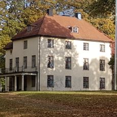
Geråsen Mansion
10 km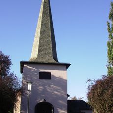
Adventskyrkan, Hallsberg
2.2 km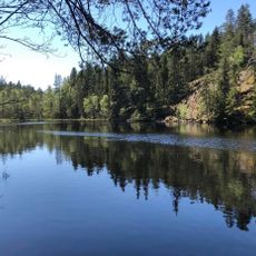
Dovrasjödalen
8.4 km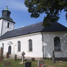
Hallsberg Church
6.3 km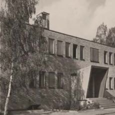
Hallsbergs köping
2.6 km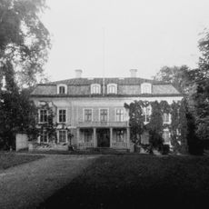
Wärsta
8.9 km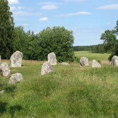
Hjortsberga
8.4 km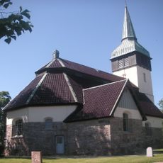
Hackvad Church
9.9 km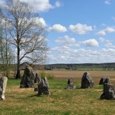
Norrby stenar
5 km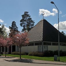
Hällabrottets kyrka
9.7 km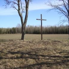
Maria Magdalena kapell
9.7 km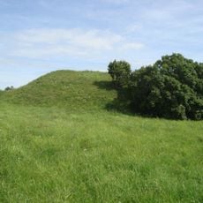
Torshögen
6.1 km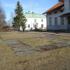
Sankt Eriks kapell
10.1 km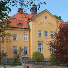
Västernärkes domsagas tingslag
2.6 km
Hallsbergs tingslag
2.6 km
Kumla, Grimstens och Hardemo tingslag
2.6 km
Hult
2.3 km
Geråsen
9.8 km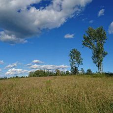
Viaskogen
6.6 km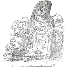
Närkes runinskrifter 9
9.3 km
Ekeby
10 km
Närkes runinskrifter 2
9.4 km
Kapellet
9.7 km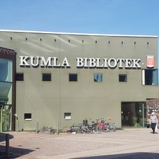
Kumla bibliotek
8.2 km
Militärminnet Sanna hed
6.5 kmReviews
Visited this place? Tap the stars to rate it and share your experience / photos with the community! Try now! You can cancel it anytime.
Discover hidden gems everywhere you go!
From secret cafés to breathtaking viewpoints, skip the crowded tourist spots and find places that match your style. Our app makes it easy with voice search, smart filtering, route optimization, and insider tips from travelers worldwide. Download now for the complete mobile experience.

A unique approach to discovering new places❞
— Le Figaro
All the places worth exploring❞
— France Info
A tailor-made excursion in just a few clicks❞
— 20 Minutes