Hunstugan 1:4, naturminne i Lerums kommun
Location: Lerum Municipality
Inception: January 7, 1947
GPS coordinates: 57.79211,12.32102
Latest update: November 24, 2023 23:13
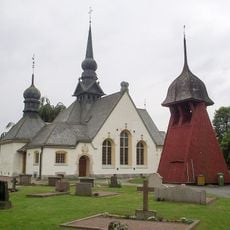
Lerums kyrka
2.9 km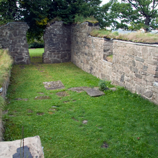
Skallsjö kyrkoruin
1.8 km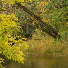
Säveåns dalgång
867 m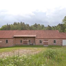
Hillefors grynkvarn
260 m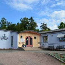
Stenkullen Church
1.1 km
Lerådalen
1.4 km
Säveån-Hedefors
2 km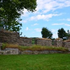
Skallsjö 21:1
1.8 km
Skallsjö 23:2
2.2 km
Skallsjö 149:1
877 m
Skallsjö 21:2
1.8 km
Stora Lundby 25:1
2.8 km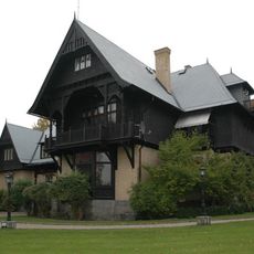
Villa Kastenhof
2.9 km
Lerum 63:1
1.2 km
Lerum 63:2
1.2 km
Lerum 64:1
986 m
Lerum 140:1
2.5 km
Skallsjö 84:1
2.7 km
Skallsjö 23:1
2.2 km
Lerum 64:2
1 km
Lerum 96:3
2.4 km
Lerum 114:1
2.2 km
Lerum 120:1
977 m
Skallsjö 1:1
798 m
Lerum 96:1
2.4 km
Lerum 96:2
2.4 km
Lerum 29:1
2.4 km
Lerum 26:1
2.6 kmReviews
Visited this place? Tap the stars to rate it and share your experience / photos with the community! Try now! You can cancel it anytime.
Discover hidden gems everywhere you go!
From secret cafés to breathtaking viewpoints, skip the crowded tourist spots and find places that match your style. Our app makes it easy with voice search, smart filtering, route optimization, and insider tips from travelers worldwide. Download now for the complete mobile experience.

A unique approach to discovering new places❞
— Le Figaro
All the places worth exploring❞
— France Info
A tailor-made excursion in just a few clicks❞
— 20 Minutes