
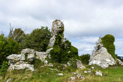
2003566 Grausne norra raukområde, protected area in Sweden (2003566)
Location: Gotland Municipality
Inception: September 25, 1986
GPS coordinates: 57.82222,18.51543
Latest update: March 6, 2025 16:48
Jungfrun
1.1 km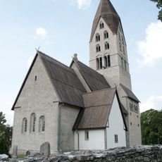
Tingstäde Church
11.2 km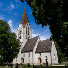
Stenkyrka Church
3.4 km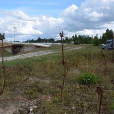
Tingstäde Fortress
11.2 km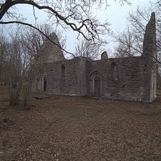
Elinghems ödekyrka
6.3 km
Gotlands försvarsmuseum
11.2 km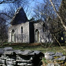
Elinghems sogn
6.3 km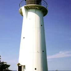
Stenkyrkehuk lighthouse
2.7 km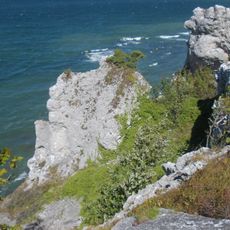
Hall-Hangvar
11.1 km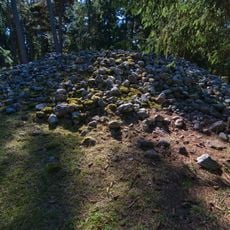
Lilla Bjärs gravfält
4 km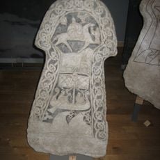
Bildstein von Smiss (Stenkyrka)
4.2 km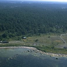
Sigsarve strand
6.8 km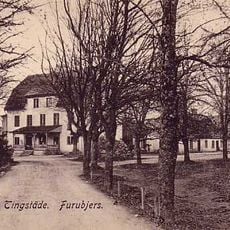
Furubjers gård
11.1 km
Björkume
4.3 km
Salmbärshagen
3.3 km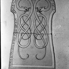
Gotlands runinskrifter 309
10.4 km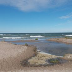
Ireån
5.3 km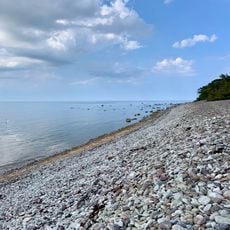
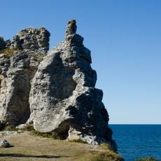
Törrvesklint
2.3 km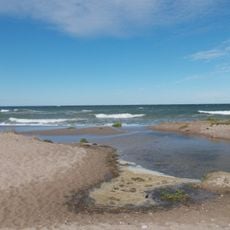
Beach Ihreviken
5 km
Gotlands runinskrifter 307
10.4 km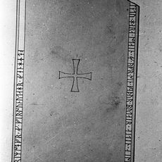
Gotlands runinskrifter 306
10.4 km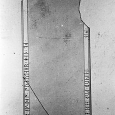
Gotlands runinskrifter 308
10.4 km
Hangvar 2:1
5.5 km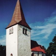
Hangvar kyrka
10.4 km
Danielssons torp i Backhagen
11.1 km
Ihre gård
5.6 km
Stenkyrka 22:1
501 m
Tingstäde 1:1
11.3 kmVisited this place? Tap the stars to rate it and share your experience / photos with the community! Try now! You can cancel it anytime.
Discover hidden gems everywhere you go!
From secret cafés to breathtaking viewpoints, skip the crowded tourist spots and find places that match your style. Our app makes it easy with voice search, smart filtering, route optimization, and insider tips from travelers worldwide. Download now for the complete mobile experience.

A unique approach to discovering new places❞
— Le Figaro
All the places worth exploring❞
— France Info
A tailor-made excursion in just a few clicks❞
— 20 Minutes