
2004110 En tall, naturminne i Falu kommun
Location: Falun Municipality
Inception: March 3, 1958
GPS coordinates: 60.59219,15.75973
Latest update: March 16, 2025 03:33
Carl Larsson-gården
6.5 km
Svedens gård
2.8 km
Rottneby herrgård
2.1 km
Högbo sanatorium
5.7 km
Gamla Staberg
3.8 km
Carl Larsson-gården
6.5 km
Dalarnas Museum
7.4 km
Sundborn Church
7.3 km
Birgittagården
1.5 km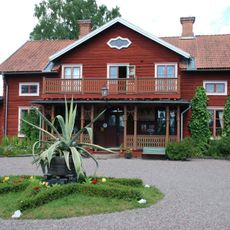
Stora Hyttnäs
6.6 km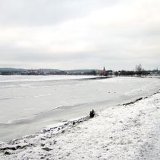
Tisken
6.4 km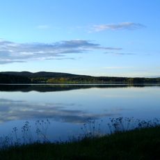
Hosjön
1.5 km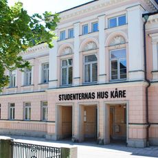
Studenternas hus Kåre
7.3 km
Linnés bröllopsstuga
2.9 km
Falun city library
7.4 km
Dalarna sports museum
7.2 km
Lugnets naturreservat
6.9 km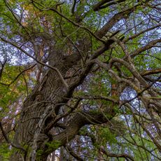
Rottnebyskogen
2.5 km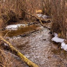
Stämshöjen
2.7 km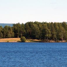
Runns norra öar
5.1 km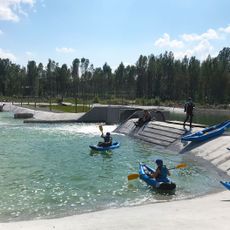
Falu Vildvattenpark
6.2 km
Ringkällmyrberget
5.3 km
Sundborns kraftstation
6.6 km
Moriska gården och Lustgården
7.1 km
Dalregementets museer
5.9 km
Medicinhistoriska museet
6.6 km
Munktellska huset
7.2 km
Hammars konditori och rektorsbostaden
7.3 kmReviews
Visited this place? Tap the stars to rate it and share your experience / photos with the community! Try now! You can cancel it anytime.
Discover hidden gems everywhere you go!
From secret cafés to breathtaking viewpoints, skip the crowded tourist spots and find places that match your style. Our app makes it easy with voice search, smart filtering, route optimization, and insider tips from travelers worldwide. Download now for the complete mobile experience.

A unique approach to discovering new places❞
— Le Figaro
All the places worth exploring❞
— France Info
A tailor-made excursion in just a few clicks❞
— 20 Minutes