
Kungafuran, naturminne i Karlshamns kommun
Location: Karlshamn Municipality
Inception: June 25, 1937
GPS coordinates: 56.28474,14.78929
Latest update: April 22, 2025 12:14

Elleholms House
13.8 km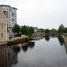
Mieån
14 km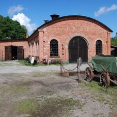
Ebbamåla bruk
11.6 km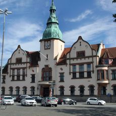
Karlshamns rådhus
13.6 km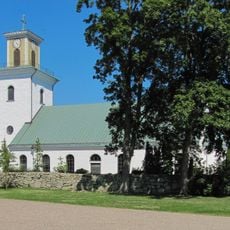
Mörrum Church
10.5 km
Skottsbergska gården
13 km
Karlshamns museum
13.1 km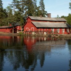
Hyltén's industrial museum
11.6 km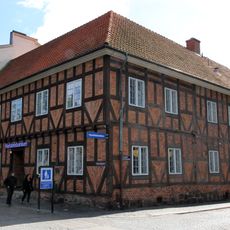
Asschierska huset
13.5 km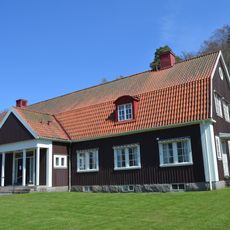
Svängsta Church
3.1 km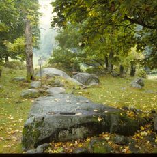
Halahult
13 km
Långasjönäs
5.4 km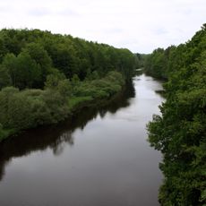
Mörrumsåns dalgång
3.8 km
Lokstallarna
12.6 km
Ire
9.4 km
Pengabergets vattenreservoar
13.4 km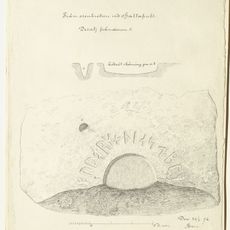
Danmarks runeindskrifter 361
13 km
Persgärde
11.7 km
Froarps Vattenverk
8 km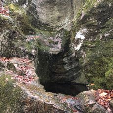
2003644 Tararps jättegrytfält
8.4 km
Bräkne och Listers domsaga
11 km
Ringamåla 7:1
7.3 km
Stensnäseken
13.5 km
Metropol
13.2 km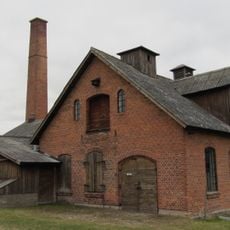
Gränums bränneri
13.6 km
Mörrum 19:1
11 km
Televerkets hus, Karlshamn
13.5 km
Haus Kungsgatan 54
13.4 kmReviews
Visited this place? Tap the stars to rate it and share your experience / photos with the community! Try now! You can cancel it anytime.
Discover hidden gems everywhere you go!
From secret cafés to breathtaking viewpoints, skip the crowded tourist spots and find places that match your style. Our app makes it easy with voice search, smart filtering, route optimization, and insider tips from travelers worldwide. Download now for the complete mobile experience.

A unique approach to discovering new places❞
— Le Figaro
All the places worth exploring❞
— France Info
A tailor-made excursion in just a few clicks❞
— 20 Minutes