
Björns skärgårds naturreservat, محمية طبيعية في السويد
Location: Tierp Municipality
Inception: August 2, 2018
GPS coordinates: 60.62587,17.96568
Latest update: March 2, 2025 23:53
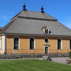
Lövstabruk Church
24.7 km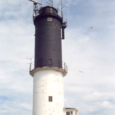
Eggegrund lighthouse
25 km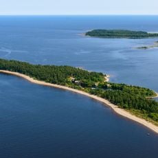
Billudden
24.7 km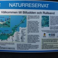
Rullsand
27 km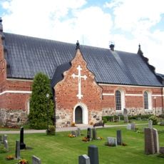
Österlövsta Church
23.4 km
Älvkarlebyfallen
29.4 km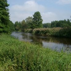
Tämnarån
20.7 km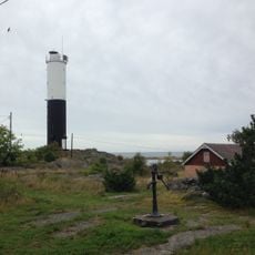
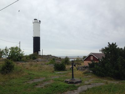
Björn lighthouse
1.8 km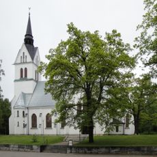
Skutskär Church
30.1 km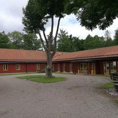
Forsmarks skola
30 km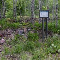
Sätra Nature Reserve
28 km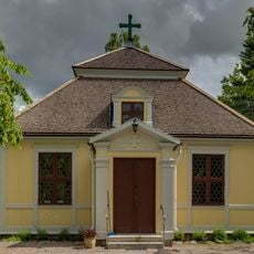
Karlholms kyrka
21.3 km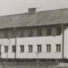
Hållnäs Municipality
11 km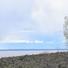
Kapplasse
9 km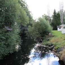
Strömarån
18.9 km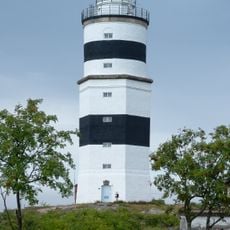
Örskär lighthouse
24.9 km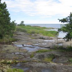
Ängskär nature reserve
15.9 km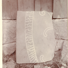
Uppland Runic Inscription 1137
20.6 km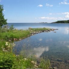
Bondskäret nature reserve
16 km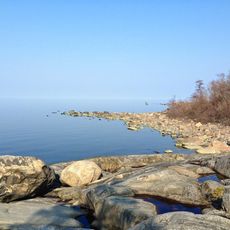
Källarbergets naturreservat
11.9 km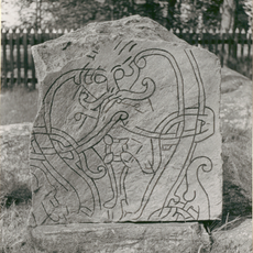
Uppland Runic Inscription 1150
21.9 km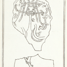
Uppland Runic Inscription 1147
27.8 km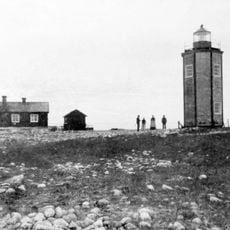
Eggegrund West lighthouse
25.7 km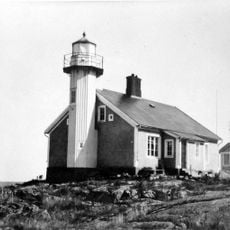
Björn old lighthouse
1.8 km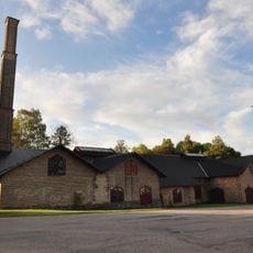
Lancashire forge of Karlholmsbruk
21.2 km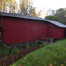
Griggebo såg
18.2 km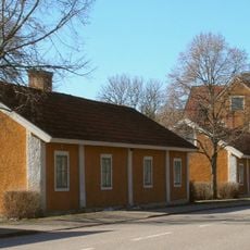
Lövstabruk
24.4 km
Griggebo såg
18.1 kmVisited this place? Tap the stars to rate it and share your experience / photos with the community! Try now! You can cancel it anytime.
Discover hidden gems everywhere you go!
From secret cafés to breathtaking viewpoints, skip the crowded tourist spots and find places that match your style. Our app makes it easy with voice search, smart filtering, route optimization, and insider tips from travelers worldwide. Download now for the complete mobile experience.

A unique approach to discovering new places❞
— Le Figaro
All the places worth exploring❞
— France Info
A tailor-made excursion in just a few clicks❞
— 20 Minutes