
Gothenburg Inlet No 4, en kantfyr i Böttöleden utanför Göteborg
Location: Gothenburg Municipality
Inception: 2004
GPS coordinates: 57.65717,11.76247
Latest update: March 31, 2025 19:40
New Elfsborg Fortress
5.5 km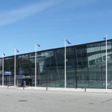
Volvo Museum
5.4 km
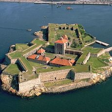
Elfsborg Fortress
5.7 km
Knarrholmen
5.4 km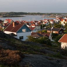
Styrsö
4.7 km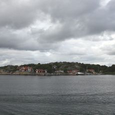
Källö
3.7 km
Fiskebäcksbadet
5.2 km
Vargö
4.3 km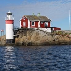
Gäveskär
618 m
Bagarens hus
5.8 km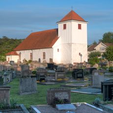
Styrsö Church
4.7 km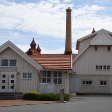
Saltholmens varmbadhus
5 km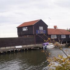
Göteborgs kanotförening
5.1 km
Asperö Church
2.2 km
Hälleviken
5.1 km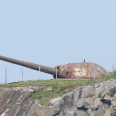
Oscar II Fort
5.7 km
Böttö lighthouse
2.7 km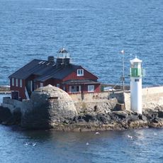
Böttö old lighthouse
2.7 km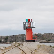
Skifteskär
3.4 km
Public beach Brännö Ramsdal
2.7 km
Stora Känsö
3.7 km
Gäveskärs gamla fyr
627 m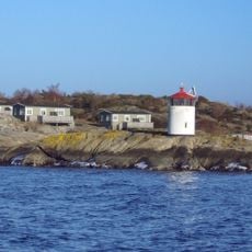
Knarrholmen lighthouse
5.5 km
Styrsö 280:1
2 km
Göteborgsgrund
4.4 km
Buskärs Knöte
5.2 km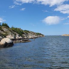
Gröna vik badplats
1.2 km
Brännö museum
1.7 kmReviews
Visited this place? Tap the stars to rate it and share your experience / photos with the community! Try now! You can cancel it anytime.
Discover hidden gems everywhere you go!
From secret cafés to breathtaking viewpoints, skip the crowded tourist spots and find places that match your style. Our app makes it easy with voice search, smart filtering, route optimization, and insider tips from travelers worldwide. Download now for the complete mobile experience.

A unique approach to discovering new places❞
— Le Figaro
All the places worth exploring❞
— France Info
A tailor-made excursion in just a few clicks❞
— 20 Minutes