
Åmål upper light, en ensfyr vid Vänern i Åmåls kommun
Location: Åmål Municipality
Inception: 1960
GPS coordinates: 59.05536,12.70836
Latest update: March 7, 2025 07:07
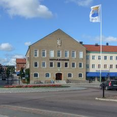
Säffle Municipality
10.6 km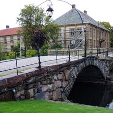
Gemeinde Åmål
9.7 km
Edsleskog old church
14 km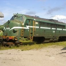
Åmål railway museum
1.7 km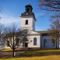
Åmåls kyrka
302 m
Säffle Church
14.8 km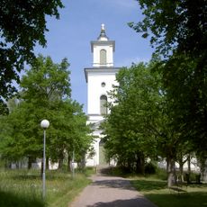
Tösse Church
10.2 km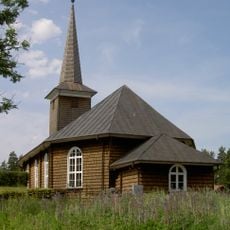
Tveta Church
9.7 km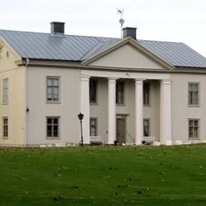
Forsbacka
6.4 km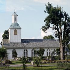
Mo Church
5.9 km
Stadshotellet, Åmål
429 m
Tydje kapell
12.1 km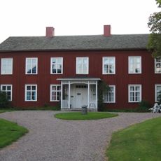
Edsleskogs prästgård
14 km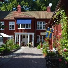
Waldenströmska gården
387 m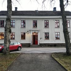
Hantverksföreningens hus i Åmål
399 m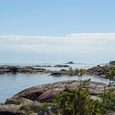
Tösse skärgård
10.6 km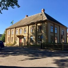
Vågmästaregården
300 m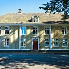
Dahlgrensgården
292 m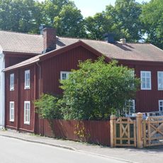
Lilliestiernska gården
320 m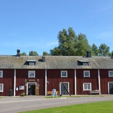
Åmåls hembygdsmuseum
272 m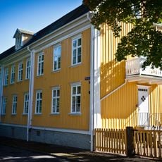
Engersgården
306 m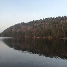
Hafsåsen
14.6 km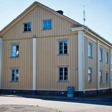
Brantenbergska huset
246 m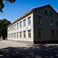
Kronan
291 m
Öjersbyns gammelskog
4.8 km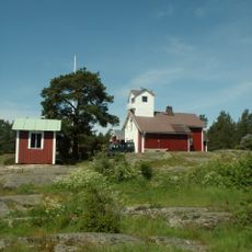
Duseudde
10.3 km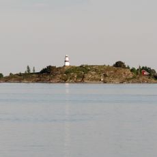
Fogden
3.2 km
Saint Nicholaus holy well
14.2 kmReviews
Visited this place? Tap the stars to rate it and share your experience / photos with the community! Try now! You can cancel it anytime.
Discover hidden gems everywhere you go!
From secret cafés to breathtaking viewpoints, skip the crowded tourist spots and find places that match your style. Our app makes it easy with voice search, smart filtering, route optimization, and insider tips from travelers worldwide. Download now for the complete mobile experience.

A unique approach to discovering new places❞
— Le Figaro
All the places worth exploring❞
— France Info
A tailor-made excursion in just a few clicks❞
— 20 Minutes