
Stanbridge, village and civil parish in Bedfordshire, England
Location: Central Bedfordshire
GPS coordinates: 51.90760,-0.59920
Latest update: March 6, 2025 15:45
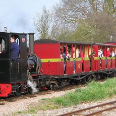
Leighton Buzzard Light Railway
3.6 km
Eggington House
1.4 km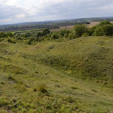
Totternhoe Knolls
2.5 km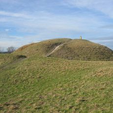
Totternhoe Castle
2.6 km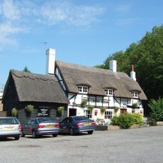
Cross Keys Inn
2.8 km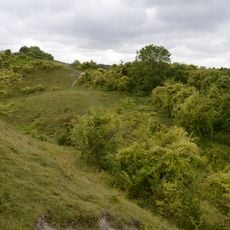
Totternhoe Chalk Quarry
2.8 km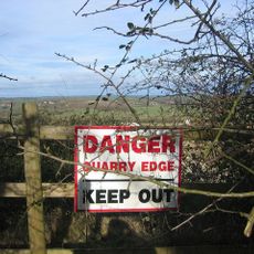
Totternhoe Stone Pit
2.5 km
Church of All Saints, Tilsworth
1.1 km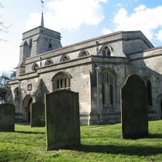
Church of St Mary, Eaton Bray
3.5 km
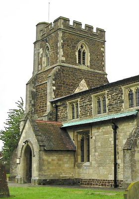
Church of St John the Baptist, Stanbridge, Bedfordshire
129 m
Totternhoe nature reserve
2.5 km
Church of the Holy Cross
4.4 km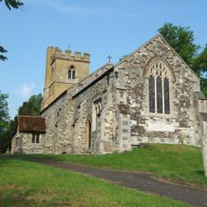
Church of Saint Nicholas
2.8 km
Church of St Michael
1.3 km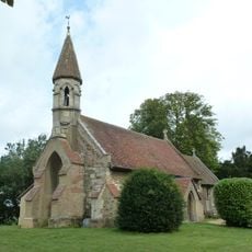
Church of Saint Michael and All Angels
2.9 km
2, Church Lane
3.5 km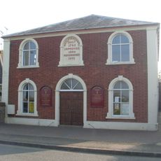
Methodist Church
3.1 km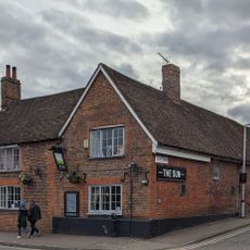
The Sun Public House
4.2 km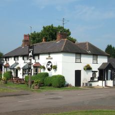
The White Horse Public House
3.3 km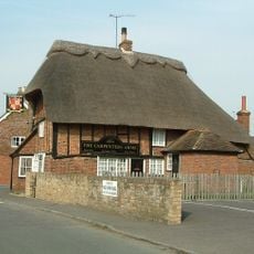
The Carpenters Arms
4.5 km
Lecton House
4.2 km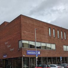
Leighton Buzzard Theatre
4.2 km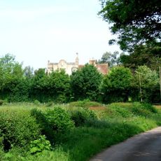
The Grange
3.1 km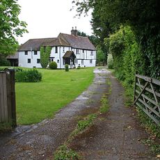
Moat Farmhouse
3.6 km
The Hall
2.4 km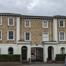
Hoddesden Villas
4.2 km
26, Lake Street
4.2 km
Gatehouse To Manor Farm
1.2 kmVisited this place? Tap the stars to rate it and share your experience / photos with the community! Try now! You can cancel it anytime.
Discover hidden gems everywhere you go!
From secret cafés to breathtaking viewpoints, skip the crowded tourist spots and find places that match your style. Our app makes it easy with voice search, smart filtering, route optimization, and insider tips from travelers worldwide. Download now for the complete mobile experience.

A unique approach to discovering new places❞
— Le Figaro
All the places worth exploring❞
— France Info
A tailor-made excursion in just a few clicks❞
— 20 Minutes