
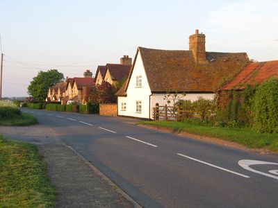
Eyeworth, village and civil parish in Bedfordshire, UK
Location: Central Bedfordshire
GPS coordinates: 52.09459,-0.17870
Latest update: March 5, 2025 06:33
Church of St Nicholas
5.4 km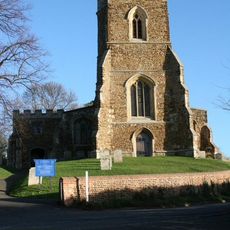
Church of St Mary, Potton
4.2 km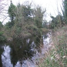
Stratton Park Moated Enclosure
4.3 km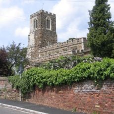
Church of All Saints, Sutton, Bedfordshire
3.5 km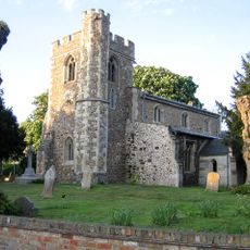
Church of St Peter, Wrestlingworth
2.1 km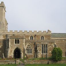
Church of St Mary
1.8 km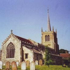
Parish Church of St Mary
3.4 km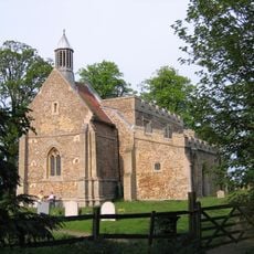
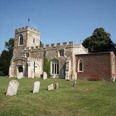
Church of All Saints
112 m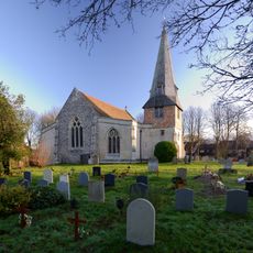
Parish Church of St Peter and St Paul
4.8 km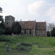
Church of St Giles
3.7 km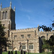
Church of St John the Baptist, Cockayne Hatley
4.1 km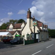
The Chequers Inn
2.1 km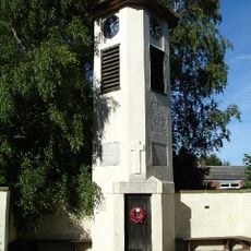
Clock Tower And War Memorial
5.2 km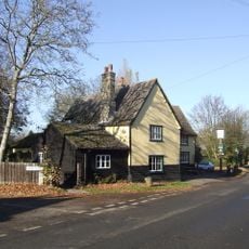
Three Tuns Public House
3.5 km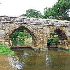
Sutton Packhorse Bridge
3.4 km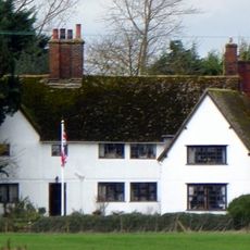
Bluegates Farmhouse
5.1 km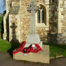
Wrestlingworth War Memorial
2.1 km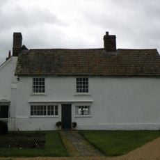
Bennetts
4.8 km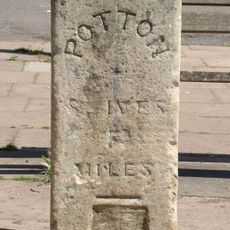
Milestone, Approximately 10 Metres East Of Centre Of Square
4.4 km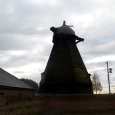
Smock Mill Circa 10 Metres North Of Mill House Noumber 20
5.1 km
Garden Wall At Hinxworth House
5.3 km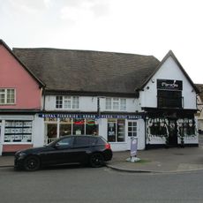
26 And 26A, Market Square
4.4 km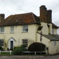
Rectory Corner
5.3 km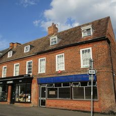
19 And 20, Market Square
4.4 km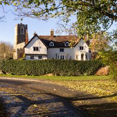
The Old Rectory
3.5 km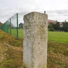
Milestone, Biggleswade Road, in front of school car park entrance
4.2 km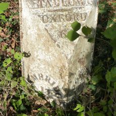
Milepost, Lower Road, E of jct with High Street
4.3 km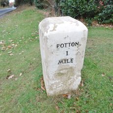
Milestone, Biggleswade Road, at entrance to golf club
4 kmReviews
Visited this place? Tap the stars to rate it and share your experience / photos with the community! Try now! You can cancel it anytime.
Discover hidden gems everywhere you go!
From secret cafés to breathtaking viewpoints, skip the crowded tourist spots and find places that match your style. Our app makes it easy with voice search, smart filtering, route optimization, and insider tips from travelers worldwide. Download now for the complete mobile experience.

A unique approach to discovering new places❞
— Le Figaro
All the places worth exploring❞
— France Info
A tailor-made excursion in just a few clicks❞
— 20 Minutes