
Countesthorpe, village and civil parish in Leicestershire, UK
Location: Blaby
Website: http://countesthorpeparishcouncil.co.uk
GPS coordinates: 52.55500,-1.14000
Latest update: March 3, 2025 09:06

All Saints Church, Narborough
4.7 km
Church of St Thomas
2.8 km
Church of All Saints
2.7 km
Narborough Bog
4.2 km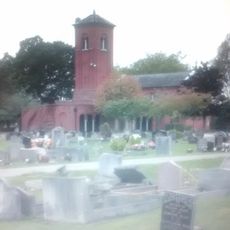
Saffron Hill Cemetery
4.2 km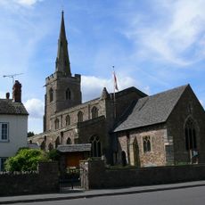
Church of St Michael and All Angels
3.7 km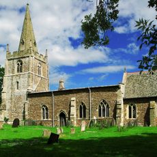
Church of All Saints
3.3 km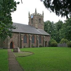
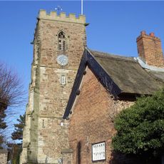
Church of St Andrew
200 m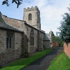
Church of St Mary
3.2 km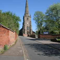
Church of St Peter
3.3 km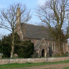
Church of St Mary Magdalene
3.5 km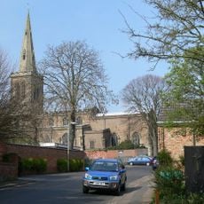
Church of All Saints
3.7 km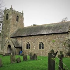
Church of St Bartholomew
2 km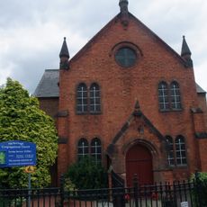
Congregational Church
4.8 km
The Bakers Arms Public House
2.7 km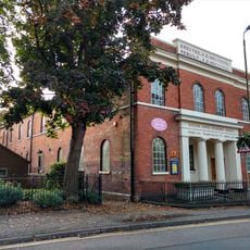
United Reformed Church and Boundary Railings
3.9 km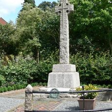
Whetstone War Memorial
3.3 km
The Manor Restaurant
2.7 km
South Wigston War Memorial
2.8 km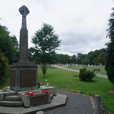
Narborough War Memorial
4.8 km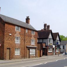
42 And 44, Bushloe End
3.7 km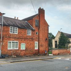
Avenue House
3.8 km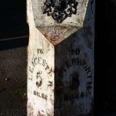
Milepost About 30 Metres South Of The Elms
2.5 km
34, Long Street
4 km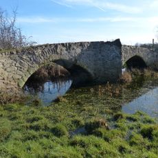
Enderby Mill Bridge
4.4 km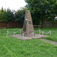
Blaby War Memorial
2.6 km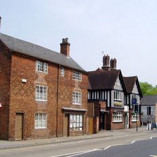
Wigston Framework Knitters Museum
3.7 km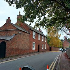
2, Newgate End
3.7 kmReviews
Visited this place? Tap the stars to rate it and share your experience / photos with the community! Try now! You can cancel it anytime.
Discover hidden gems everywhere you go!
From secret cafés to breathtaking viewpoints, skip the crowded tourist spots and find places that match your style. Our app makes it easy with voice search, smart filtering, route optimization, and insider tips from travelers worldwide. Download now for the complete mobile experience.

A unique approach to discovering new places❞
— Le Figaro
All the places worth exploring❞
— France Info
A tailor-made excursion in just a few clicks❞
— 20 Minutes