
Burbage, village and civil parish in Leicestershire, UK
Location: Hinckley and Bosworth
GPS coordinates: 52.52770,-1.34830
Latest update: March 7, 2025 21:06

Liberty Way
6.4 km
De Montfort Park
3.5 km
St Mary's Church, Hinckley
2.1 km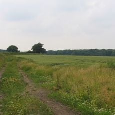
Burbage Wood and Aston Firs
1.8 km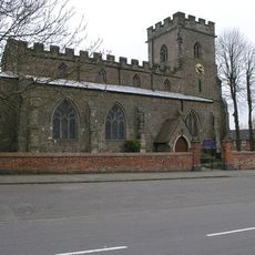
Church of St Mary
4.1 km
Venonis
5 km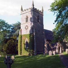
St Peter's Church, Aston Flamville
2 km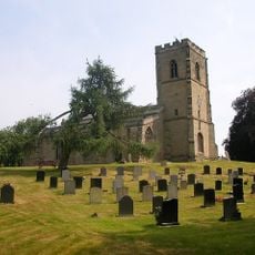
Church of St John the Baptist
4.6 km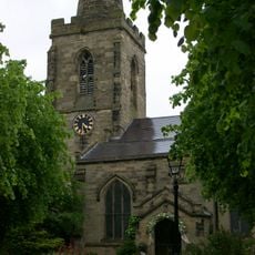
Church of St Catherine
347 m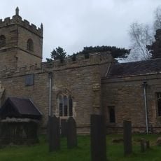
Church of St Botolph
4.2 km
Church of All Saints
4.6 km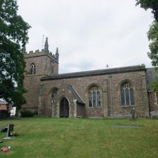
Church of St Helen
4.1 km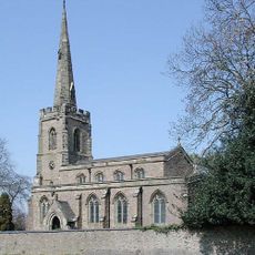
Church of St Michael
5.2 km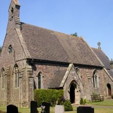
Church of St John
4.1 km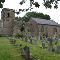
Church of St Mary
4.4 km
Church of St Peter
2 km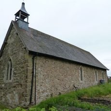
Church of St Mary
3.5 km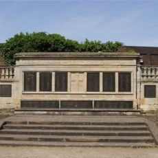
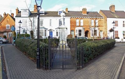
Hinckley War Memorial
2.1 km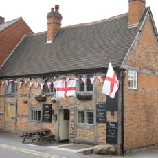
The Queens Head Public House
4.3 km
High Cross 60m north west of Highcross House
4.7 km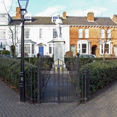
Burbage War Memorial
170 m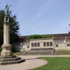
War Memorial
2.1 km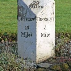
Milestone At Ngr Sp 4412 9332
932 m
Deserted village of Stretton Baskerville
2.6 km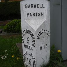
Milepost, by No. 240 Ashby Road, just S of jct with Normandy Way (A47)
3.5 km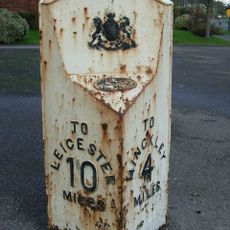
Milepost, Sharnford Road, at jct of Grace Road
4.9 km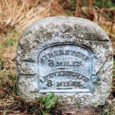
Milestone, N of Hinckley Island and Hanover Hotel
1.7 km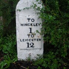
Milestone, entrance to Milestone House, opp entrance to golf club
2.8 kmVisited this place? Tap the stars to rate it and share your experience / photos with the community! Try now! You can cancel it anytime.
Discover hidden gems everywhere you go!
From secret cafés to breathtaking viewpoints, skip the crowded tourist spots and find places that match your style. Our app makes it easy with voice search, smart filtering, route optimization, and insider tips from travelers worldwide. Download now for the complete mobile experience.

A unique approach to discovering new places❞
— Le Figaro
All the places worth exploring❞
— France Info
A tailor-made excursion in just a few clicks❞
— 20 Minutes