
Hellidon, village and civil parish in Northamptonshire, UK
Location: West Northamptonshire
Website: http://northantscalc.gov.uk/local-council-contacts/hellidon
GPS coordinates: 52.22230,-1.24750
Latest update: March 13, 2025 16:31
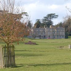
Shuckburgh Hall
3.8 km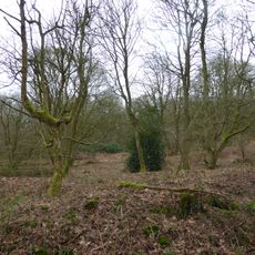
Badby Wood
4.8 km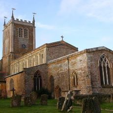
Church of St Mary the Virgin
4.5 km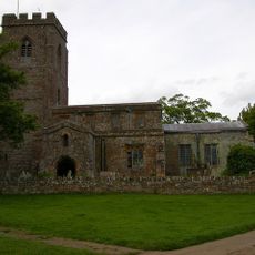
Church of Holy Trinity
4.2 km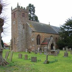
Church of St Mary
4.9 km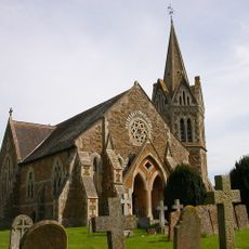
Church of St John the Baptist, Shuckburgh
4.9 km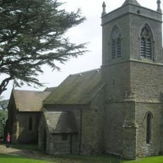
Church of St John The Baptist In The Wilderness
3.7 km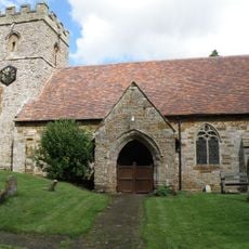
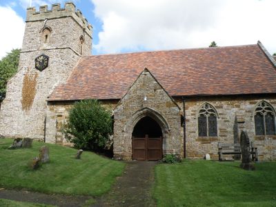
Church of St John the Baptist
319 m
Church of St Mary the Virgin
3.7 km
Chapel Of St Mary And St Edmund
1.1 km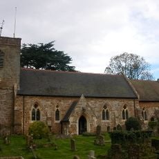
Church of St Leonard
2.7 km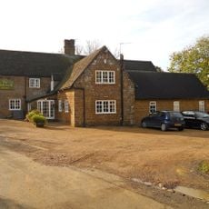
Holly Bush Inn
2.8 km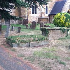
Chest Tomb Approximately 12 Metres South Of Tower South Door Of Church Of St Leonard
2.7 km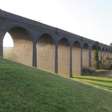
Catesby Viaduct
2.1 km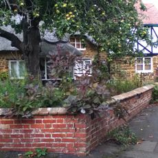
St Leonard's Cottage
2.8 km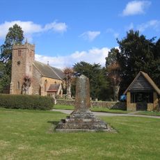
Priors Hardwick War Memorial
5 km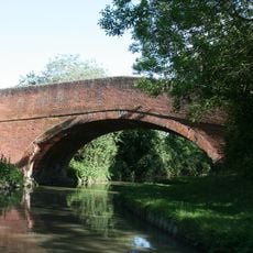
Oxford Canal, Canal Bridge Number 122
5.2 km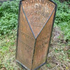
Milestone Approximately 10 Metres South Of Red House Farm House
4.6 km
Lower Shuckburgh War Memorial
4.9 km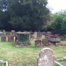
Group Of 4 Chest Tombs And 13 Headstones Approximately 15 Metres South Fo Porch Of Church Of St Leonard
2.7 km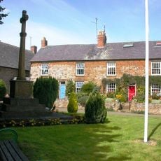
Byfield War Memorial, Northamptonshire
5.2 km
1, High Street
5.1 km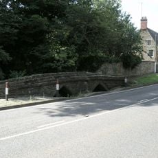
Packhorse Bridge Over River Cherwell
3.1 km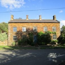
Manor House
5.1 km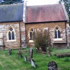
Group Of 2 Chest Tombs And 65 Headstones South Of Nave And Chancel Of Church Of St Leonard
2.7 km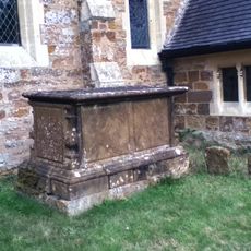
Chest Tomb Approximately 2 Metres West Of Porch Of Church Of St Leonard
2.7 km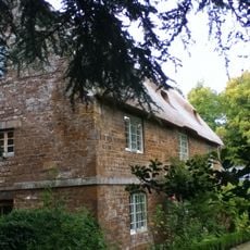
The Orchard
2.7 km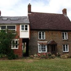
Chestnut Bank
2.9 kmVisited this place? Tap the stars to rate it and share your experience / photos with the community! Try now! You can cancel it anytime.
Discover hidden gems everywhere you go!
From secret cafés to breathtaking viewpoints, skip the crowded tourist spots and find places that match your style. Our app makes it easy with voice search, smart filtering, route optimization, and insider tips from travelers worldwide. Download now for the complete mobile experience.

A unique approach to discovering new places❞
— Le Figaro
All the places worth exploring❞
— France Info
A tailor-made excursion in just a few clicks❞
— 20 Minutes