
Carnaby, village and civil parish in the East Riding of Yorkshire, UK
Location: East Riding of Yorkshire
GPS coordinates: 54.07307,-0.24834
Latest update: March 3, 2025 03:41

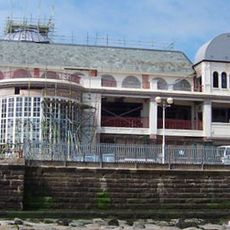
The Spa, Bridlington
3.5 km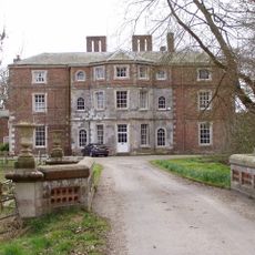
Boynton Hall
2.4 km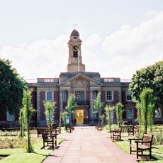
Bridlington Town Hall
3.5 km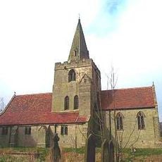
Church of St Magnus, Bessingby
1.2 km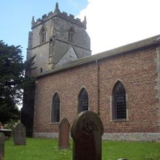
Church of St Andrew
2.6 km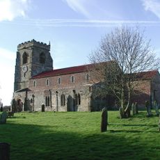
Church of St John the Baptist
252 m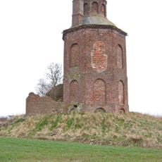
Carnaby Temple
1.3 km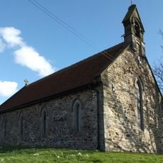
St Edmunds Chapel
3.9 km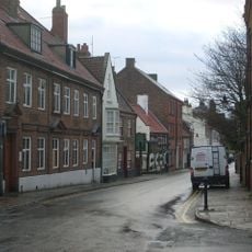
Hebblethwaite House
3.4 km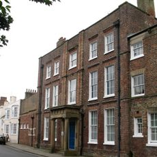
The Avenue
3.3 km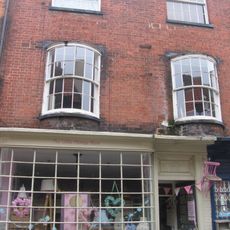
67, High Street
3.5 km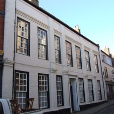
51 and 53, High Street
3.5 km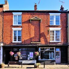
84 And 86, High Street
3.4 km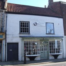
70, High Street
3.5 km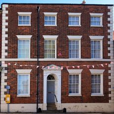
64, High Street
3.5 km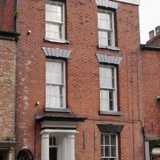
The Gables
3.5 km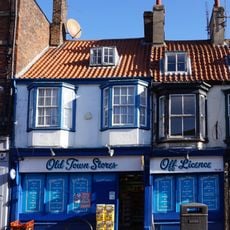
98, High Street
3.4 km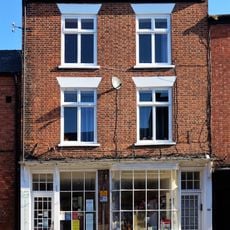
88 And 90, High Street
3.4 km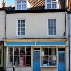
74, High Street
3.4 km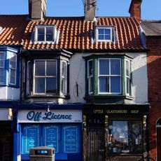
Numbers 94 (Western Portion) And 96
3.4 km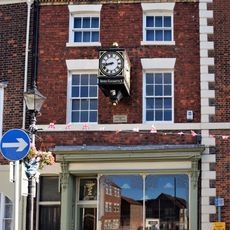
64A, High Street
3.5 km
66 And 68, High Street
3.5 km
45, High Street
3.5 km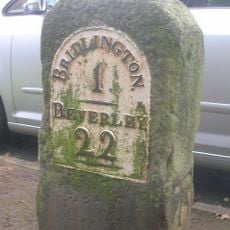
Milestone, Cardigan Road, next to Emmanuel Church
3.1 km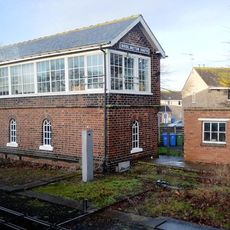
Bridlington South Signal Box
3.1 km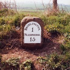
Milestone, between Eastfield Farm and Eastfield Garden Centre
2.5 km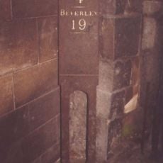
Milestone, High St, Old Bridlington, E of Market Place
3.4 km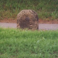
Milestone, N of West Hill jct.
2.1 kmVisited this place? Tap the stars to rate it and share your experience / photos with the community! Try now! You can cancel it anytime.
Discover hidden gems everywhere you go!
From secret cafés to breathtaking viewpoints, skip the crowded tourist spots and find places that match your style. Our app makes it easy with voice search, smart filtering, route optimization, and insider tips from travelers worldwide. Download now for the complete mobile experience.

A unique approach to discovering new places❞
— Le Figaro
All the places worth exploring❞
— France Info
A tailor-made excursion in just a few clicks❞
— 20 Minutes